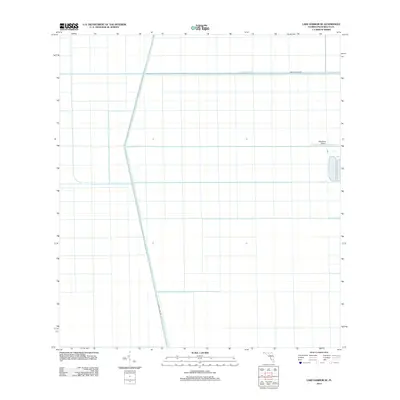
2012 Map of Lake Harbor SE
USGS Topo · Published 2012About this map
Agricultural water management and straight-line infrastructure define this portion of the Everglades in Palm Beach County. The landscape is dominated by the intersecting geometries of the Bolles Canal and the Miami Canal, critical arteries for drainage and irrigation that have reshaped the region's hydrology. These waterways are mirrored by their respective service routes, Bolles Canal Rd and Miami Canal Rd, which provide access through the vast grid-patterned fields. Tucked into the eastern edge of the survey is the Okeelanta Airport, a small facility that serves the industrial and agricultural needs of the surrounding area, reflecting the era's reliance on aviation for crop management and transport in this reclaimed terrain.
Find a feature on this map
5 named features on this map. Tap any name to fly to it.
Don’t see what you’re looking for? This feature index may not catch every label — zoom into the map to look around manually.
Map Details
Editions of this 2012 Lake Harbor SE Map
This is the sole edition of this map. No revisions or reprints were ever made.
Other maps of this area

1956 · West Palm Beach
USGS Topo · 1:250,000

1957 · West Palm Beach
USGS Topo · 1:250,000

1958 · West Palm Beach
USGS Topo · 1:250,000

1970 · Lake Harbor
USGS Topo · 1:24,000

1970 · Belle Glade
USGS Topo · 1:24,000

1970 · Lake Harbor SE
USGS Topo · 1:24,000

1970 · Lake Harbor SW
USGS Topo · 1:24,000

1970 · Clewiston South
USGS Topo · 1:24,000

1970 · Okeelanta
USGS Topo · 1:24,000

1974 · Everglades 1 NW
USGS Topo · 1:24,000