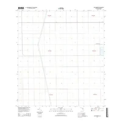
2015 Map of Lake Harbor SE
USGS Topo · Published 2015About this map
Miami Canal and Bolles Canal intersect to form the primary hydrological and transport framework of this agricultural landscape in the Florida Everglades. This 2015 survey reveals a highly engineered environment where water management systems define the land's utility and layout. The intersection of these waterways, alongside the presence of the Okeelanta Airport in the eastern portion of the sheet, underscores the region's focus on specialized infrastructure and industrial-scale agriculture. Small service roads like Cr-827 provide the only significant terrestrial access through the expansive grid of sections, illustrating the modern management of one of the state's most critical drainage and cultivation zones.
Find a feature on this map
10 named features on this map. Tap any name to fly to it.
Don’t see what you’re looking for? This feature index may not catch every label — zoom into the map to look around manually.
Map Details
Editions of this 2015 Lake Harbor SE Map
This is the sole edition of this map. No revisions or reprints were ever made.
Other maps of this area

1956 · West Palm Beach
USGS Topo · 1:250,000

1957 · West Palm Beach
USGS Topo · 1:250,000

1958 · West Palm Beach
USGS Topo · 1:250,000

1970 · Lake Harbor
USGS Topo · 1:24,000

1970 · Belle Glade
USGS Topo · 1:24,000

1970 · Lake Harbor SE
USGS Topo · 1:24,000

1970 · Lake Harbor SW
USGS Topo · 1:24,000

1970 · Clewiston South
USGS Topo · 1:24,000

1970 · Okeelanta
USGS Topo · 1:24,000

1974 · Everglades 1 NW
USGS Topo · 1:24,000