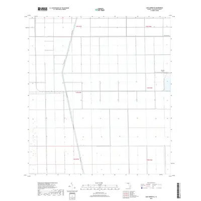
2018 Map of Lake Harbor SE
USGS Topo · Published 2018About this map
Miami Canal and Bolles Canal intersect in this section of the Florida Everglades, defining the geometric drainage and transportation patterns of southern Palm Beach County. The landscape is characterized by large-scale agricultural blocks, delineated by the Public Land Survey System grids of t45s r35e and t45s r36e. This 2018 survey illustrates the heavy reliance on canal-side infrastructure, where Miami Canal Rd and Bolles Canal Rd provide essential access through the low-lying wetland terrain. A singular point of aviation interest, Okeelanta Airport, sits on the eastern edge of the quadrangle, serving the surrounding industrial-scale farming operations that have reshaped this region since the mid-20th century.
Find a feature on this map
11 named features on this map. Tap any name to fly to it.
Don’t see what you’re looking for? This feature index may not catch every label — zoom into the map to look around manually.
Map Details
Editions of this 2018 Lake Harbor SE Map
This is the sole edition of this map. No revisions or reprints were ever made.
Other maps of this area

1956 · West Palm Beach
USGS Topo · 1:250,000

1957 · West Palm Beach
USGS Topo · 1:250,000

1958 · West Palm Beach
USGS Topo · 1:250,000

1970 · Lake Harbor
USGS Topo · 1:24,000

1970 · Belle Glade
USGS Topo · 1:24,000

1970 · Lake Harbor SE
USGS Topo · 1:24,000

1970 · Lake Harbor SW
USGS Topo · 1:24,000

1970 · Clewiston South
USGS Topo · 1:24,000

1970 · Okeelanta
USGS Topo · 1:24,000

1974 · Everglades 1 NW
USGS Topo · 1:24,000