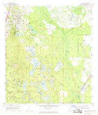
1966 Map of Lake Helen
USGS Topo · Published 1968About this map
Lake Helen and the spiritualist camp at Cassadaga anchor the western edge of this mid-1960s landscape, just as the early residential footprints of Deltona began to spread through the pine lands of Volusia County. The terrain is defined by a dense network of freshwater bodies including Sand Lakes, Three Island Lakes, and Waterman Lakes, interspersed with numerous depressions and wetlands like Big Island. A legacy of earlier commerce and transit is visible in the prominent Old Railroad Grade that cuts through the northern sections, passing through Albert Crossing. The map reveals a transition from traditional settlements to mid-century development, evidenced by the emerging street grids of Deltona Country Club and planned neighborhoods surrounding Pioneer Lake and Castle Lake. Local landmarks like Blake Park and the Osteen Cem provide specific points of interest for genealogists and local historians tracing the evolution of this lake-studded region.
Find a feature on this map
70 named features on this map. Tap any name to fly to it.
Don’t see what you’re looking for? This feature index may not catch every label — zoom into the map to look around manually.
Map Details
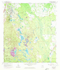
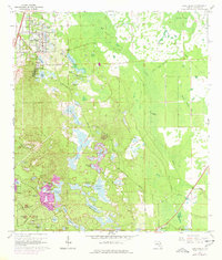
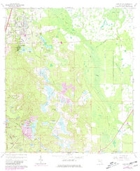
Editions of this 1966 Lake Helen Map
4 editions found
Other maps of this area

1949 · Osceola
USGS Topo · 1:24,000

1952 · Samsula
USGS Topo · 1:24,000

1954 · Daytona Beach
USGS Topo · 1:250,000

1955 · Orlando
USGS Topo · 1:250,000

1957 · Orlando
USGS Topo · 1:250,000

1958 · Orlando
USGS Topo · 1:250,000

1958 · Daytona Beach
USGS Topo · 1:250,000

1962 · Orlando
USGS Topo · 1:250,000

1962 · Daytona Beach SW
USGS Topo · 1:24,000

1964 · Daytona Beach
USGS Topo · 1:250,000