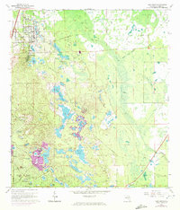
1966 Map of Lake Helen
USGS Topo · Published 1972About this map
Lake Helen and the spiritualist community of Cassadaga serve as the primary cultural anchors on this 1966 topographic survey. The landscape is defined by a dense concentration of sinkhole lakes, including Lake Harlan, Lake Macy, and the expansive Three Island Lakes. The 1970 revisions, indicated by purple tint, show the rapid southern expansion of Deltona into what was previously undeveloped scrub and pine land. This growth is evidenced by the emergence of residential street networks like Saxon Blvd and Providence Blvd, which began to encircle water bodies such as McGarity Lake and Briarwood Lake. In the eastern half, the terrain transitions into the low-lying wetlands of the Lake Helen Osteen Road corridor, where an Old Railroad Grade and the secluded Osteen Cem mark the older transit patterns of southern Volusia County.
Find a feature on this map
70 named features on this map. Tap any name to fly to it.
Don’t see what you’re looking for? This feature index may not catch every label — zoom into the map to look around manually.
Map Details
Editions of this 1966 Lake Helen Map
4 editions found
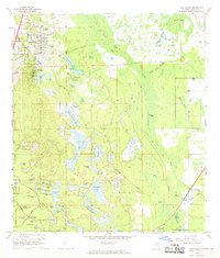
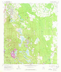
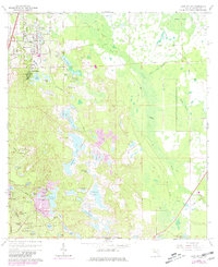
Other maps of this area

1949 · Osceola
USGS Topo · 1:24,000

1952 · Samsula
USGS Topo · 1:24,000

1954 · Daytona Beach
USGS Topo · 1:250,000

1955 · Orlando
USGS Topo · 1:250,000

1957 · Orlando
USGS Topo · 1:250,000

1958 · Orlando
USGS Topo · 1:250,000

1958 · Daytona Beach
USGS Topo · 1:250,000

1962 · Orlando
USGS Topo · 1:250,000

1962 · Daytona Beach SW
USGS Topo · 1:24,000

1964 · Daytona Beach
USGS Topo · 1:250,000