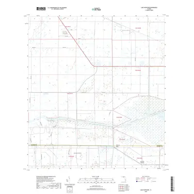
2018 Map of Lake Hicpochee
USGS Topo · Published 2018About this map
Lake Hicpochee and the managed water systems of South Florida define this 2018 landscape on the border of Glades and Hendry counties. The Caloosahatchee Canal and the Okeechobee Waterway serve as the primary hydrologic arteries, cutting through a grid-dominated terrain of ranch lands and agricultural holdings. The map illustrates a transition from larger rural tracts to smaller, subdivided pockets, particularly evident along Hendry Isles Blvd and Indian Hill Dr.
Find a feature on this map
32 named features on this map. Tap any name to fly to it.
Don’t see what you’re looking for? This feature index may not catch every label — zoom into the map to look around manually.
Map Details
Editions of this 2018 Lake Hicpochee Map
This is the sole edition of this map. No revisions or reprints were ever made.
Other maps of this area

1956 · West Palm Beach
USGS Topo · 1:250,000

1957 · West Palm Beach
USGS Topo · 1:250,000

1958 · West Palm Beach
USGS Topo · 1:250,000

1958 · Goodno
USGS Topo · 1:24,000

1958 · Felda NE
USGS Topo · 1:24,000
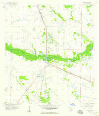
1958 · Palmdale
USGS Topo · 1:24,000

1970 · Moore Haven
USGS Topo · 1:24,000
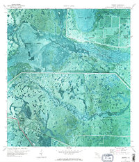
1970 · Lakeport
USGS Topo · 1:24,000

1970 · La Belle 4 NW
USGS Topo · 1:24,000

1970 · La Belle 4 NE
USGS Topo · 1:24,000