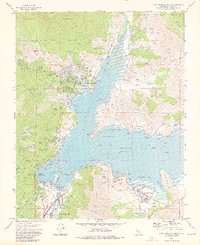
1972 Map of Lake Isabella North
USGS Topo · Published 1976About this map
Isabella Lake South Fork and the Kern River meet at the massive infrastructure of the Isabella Main Dam and Isabella Auxiliary Dam. This early 1970s topographic record shows the transformation of the upper Kern Valley into a major recreational and water management hub. The settlements of Wofford Heights and Lake Isabella are shown in detail, including the Kern River Valley Cem and the Kern Valley Airport.
Find a feature on this map
59 named features on this map. Tap any name to fly to it.
Don’t see what you’re looking for? This feature index may not catch every label — zoom into the map to look around manually.
Map Details
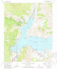
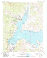
Editions of this 1972 Lake Isabella North Map
3 editions found
Other maps of this area

1906 · Kernville
USGS Topo · 1:125,000

1908 · Kernville
USGS Topo · 1:125,000

1920 · Delonagha
USGS Topo · 1:62,500

1926 · Glennville
USGS Topo · 1:62,500

1936 · Tobias Peak
USGS Topo · 1:125,000

1943 · Tobias Peak
USGS Topo · 1:125,000

1943 · Isabella
USGS Topo · 1:62,500

1945 · Tobias Peak
USGS Topo · 1:62,500

1948 · Bakersfield
USGS Topo · 1:250,000

1955 · Bakersfield
USGS Topo · 1:250,000