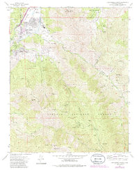
1972 Map of Lake Isabella South
USGS Topo · Published 1986About this map
The Kern River corridor and the southern reaches of the Sequoia National Forest anchor this 1970s survey, capturing the region's transition from an extractive mining landscape to a gateway for river and forest recreation. The map details the growing residential footprints of Lake Isabella and Bodfish, while documenting the infrastructure of the Borel Flume and the education center at Kern Valley HS.
Find a feature on this map
48 named features on this map. Tap any name to fly to it.
Don’t see what you’re looking for? This feature index may not catch every label — zoom into the map to look around manually.
Map Details
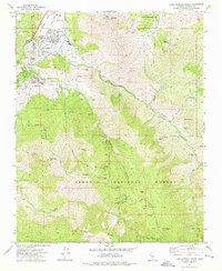
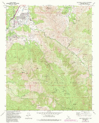
Editions of this 1972 Lake Isabella South Map
3 editions found
Other maps of this area

1906 · Kernville
USGS Topo · 1:125,000

1908 · Kernville
USGS Topo · 1:125,000

1914 · Caliente
USGS Topo · 1:125,000

1915 · Mojave
USGS Topo · 1:125,000

1920 · Delonagha
USGS Topo · 1:62,500

1926 · Glennville
USGS Topo · 1:62,500

1936 · Tobias Peak
USGS Topo · 1:125,000

1943 · Emerald Mtn
USGS Topo · 1:62,500

1943 · Breckenridge Mountain
USGS Topo · 1:62,500

1943 · Tobias Peak
USGS Topo · 1:125,000