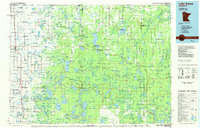
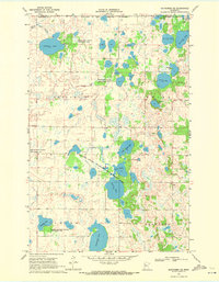
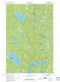
1985 Map of Lake Itasca
USGS Topo · Published 1985This historical map portrays the area of Lake Itasca in 1985, primarily covering Mahnomen as well as portions of Beltrami County, Becker County, Polk County, Clearwater County, and Hubbard County. Featuring a scale of 1:100000, this map provides a highly detailed snapshot of the terrain, roads, buildings, counties, and historical landmarks in the Lake Itasca region at the time. Published in 1985, it is one of 2 known editions of this map due to revisions or reprints.
Map Details
Editions of this 1985 Lake Itasca Map
2 editions found
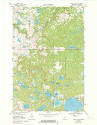
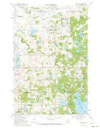
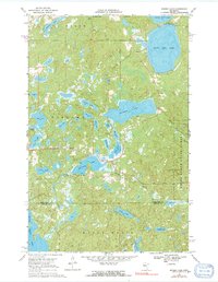
Historical Maps of Ogema Through Time
10 maps found

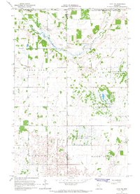
1966 Faith
Mahnomen County, MN
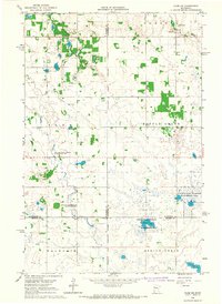
1966 Faith NE
Mahnomen County, MN
1966 Flom NE
Mahnomen County, MN
1969 Ebro NW
Mahnomen County, MN
1969 Mahnomen NE
Mahnomen County, MN
1969 North Twin Lake
Mahnomen County, MN
1969 Ogema NE
Mahnomen County, MN
1969 Snider Lake
Mahnomen County, MN
1969 Tulaby Lake
Mahnomen County, MN
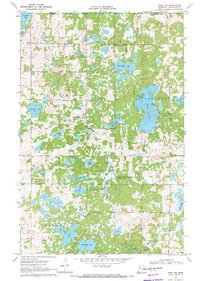
1985 Lake Itasca
Mahnomen County, MN