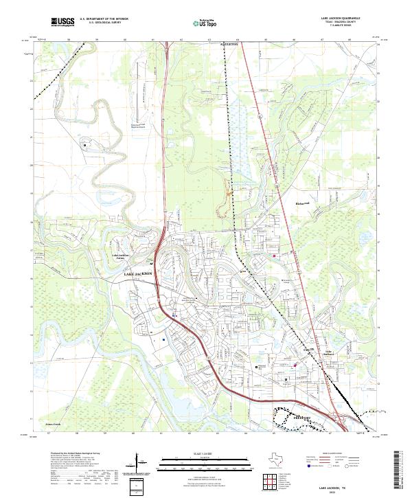
2022 Map of Lake Jackson
USGS Topo · Published 2022About this map
The Brazos River snakes through the southern reaches of this landscape, anchoring a complex network of waterways that includes Oyster Creek, Bastrop Bayou, and Buffalo Camp Bayou. The modern footprint of Lake Jackson and Clute is well-established, showing a transition from the dense residential grids of Richwood and Ross to the institutional grounds of Brazosport College. Local heritage is preserved at sites like Mount Zion Cem and the Saint Timothy's Episcopal Church Cinerarium, while the regional economy is reflected in the layout of the Texas Gulf Coast Regional Airport. A distinctive pattern of coastal wetlands and sloughs, such as Little Slough and Big Slough, illustrates the low-lying geography of the Texas Gulf Coast as it appeared in the early 21st century. Industrial and recreational land use coexist, seen in the proximity of the Angleton-Fishing and Hunting Club Reservoir to the growing suburban developments.
Find a feature on this map
241 named features on this map. Tap any name to fly to it.
Don’t see what you’re looking for? This feature index may not catch every label — zoom into the map to look around manually.
Map Details
Editions of this 2022 Lake Jackson Map
This is the sole edition of this map. No revisions or reprints were ever made.
Other maps of this area

1943 · Oyster Creek
USGS Topo · 1:31,680

1943 · Jones Creek
USGS Topo · 1:31,680

1943 · Danbury
USGS Topo · 1:31,680

1943 · Freeport
USGS Topo · 1:31,680

1943 · Angleton
USGS Topo · 1:24,000

1943 · Snipe
USGS Topo · 1:31,680

1950 · Houston
USGS Topo · 1:250,000

1951 · Bay City
USGS Topo · 1:250,000

1952 · Cedar Lane NE
USGS Topo · 1:24,000

1952 · East Columbia
USGS Topo · 1:24,000