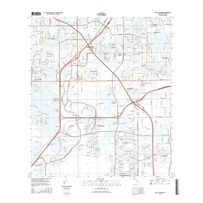
2015 Map of Lake Jessamine
USGS Topo · Published 2015About this map
The south Orlando metropolitan area is defined here by a dense concentration of lakes and rapid suburban expansion. Major settlements like Tangelo Park, Sky Lake, and Pine Castle are situated amidst a network of freshwater bodies including the large Lake Jessamine and the curiously named Rattlesnake Lake. The landscape reflects a modern era of development, dominated by complex interchanges along International Dr and the Central Florida Pky.
Find a feature on this map
56 named features on this map. Tap any name to fly to it.
Don’t see what you’re looking for? This feature index may not catch every label — zoom into the map to look around manually.
Map Details
Editions of this 2015 Lake Jessamine Map
This is the sole edition of this map. No revisions or reprints were ever made.
Other maps of this area
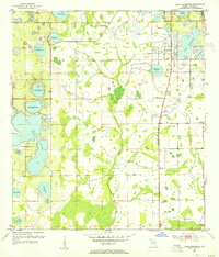
1953 · Lake Jessamine
USGS Topo · 1:24,000
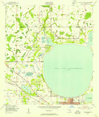
1953 · St Cloud North
USGS Topo · 1:24,000
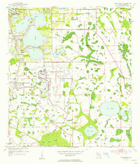
1953 · Pine Castle
USGS Topo · 1:24,000
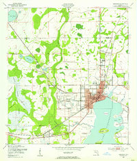
1953 · Kissimmee
USGS Topo · 1:24,000
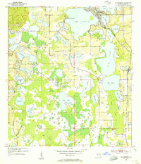
1953 · Windermere
USGS Topo · 1:24,000
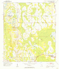
1953 · Intercession City
USGS Topo · 1:24,000

1955 · Orlando
USGS Topo · 1:250,000
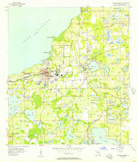
1956 · Winter Garden
USGS Topo · 1:24,000
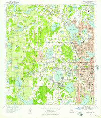
1956 · Orlando West
USGS Topo · 1:24,000
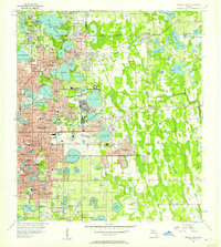
1956 · Orlando East
USGS Topo · 1:24,000