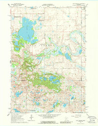
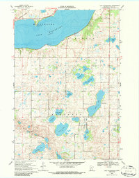
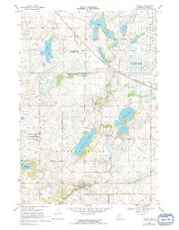
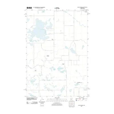
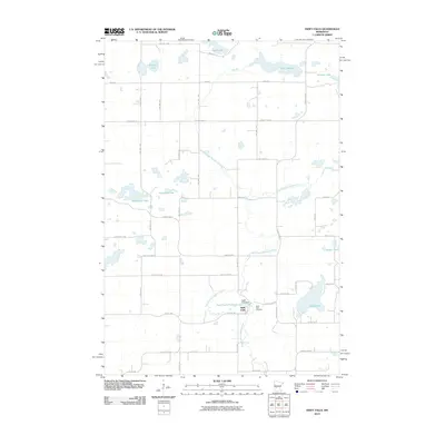
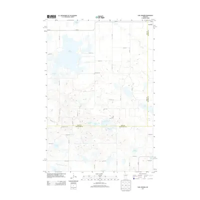
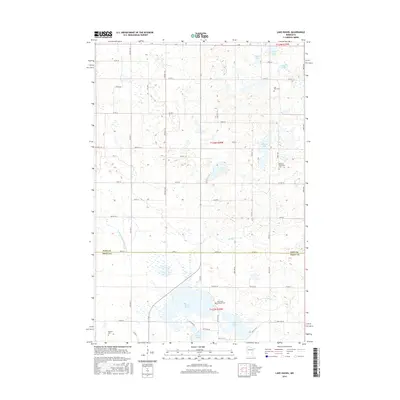
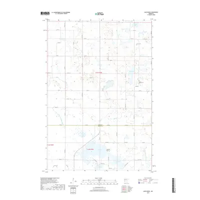
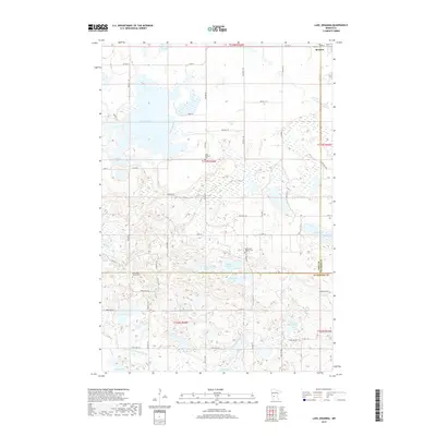
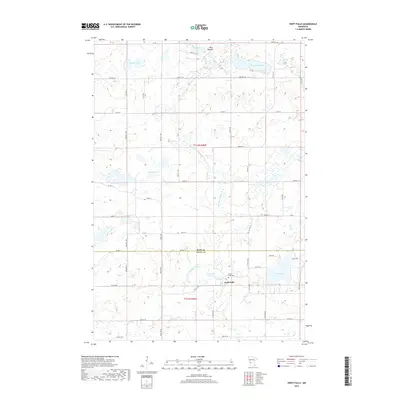
1967 Map of Lake Johanna
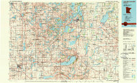
USGS Topo · Published 1988About this map
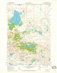
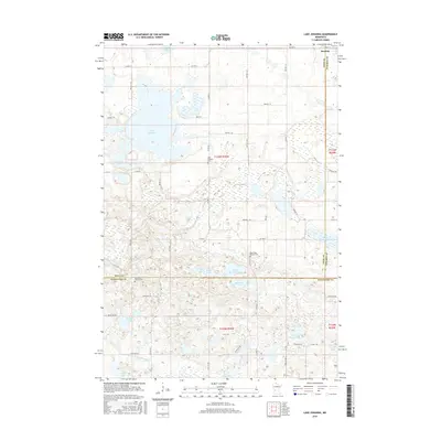
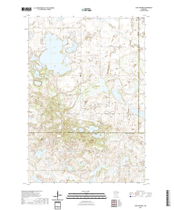
Lake Johanna and Norway Lake anchor this glaciated terrain in the late 1960s, a landscape defined by an intricate network of wetlands, sloughs, and family-named lakes. The region is heavily managed for conservation, with large tracts dedicated to the Bangor State Wildlife Management Area and the Little Jo State Wildlife Management Area. These protected zones surround smaller water bodies like Skanning Lake and Rocky Mountain Lake, preserving the prairie pothole character of the Minnesota countryside. Evidence of early settlement and community life is found near the shores of the larger lakes, notably at the South Lake Johanna Ch and the nearby Lake Johanna Cem. To the northeast, the outskirts of Brooten mark the transition toward more developed township structures, while numerous Gravel Pits suggest the local extraction industries of the era.
Find a feature on this map
30 named features on this map. Tap any name to fly to it.
Don’t see what you’re looking for? This feature index may not catch every label — zoom into the map to look around manually.
Map Details
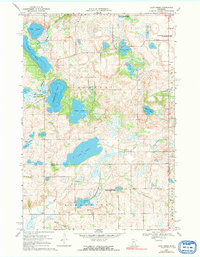
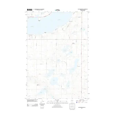
Editions of this 1967 Lake Johanna Map
2 editions found
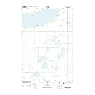
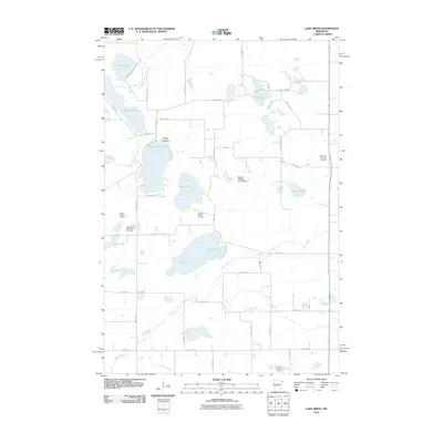
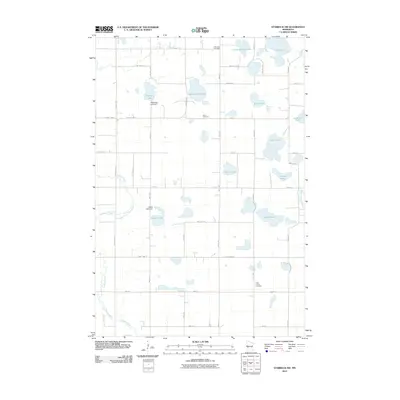
Historical Maps of Brooten Through Time
49 maps found
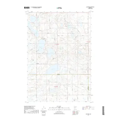
1967 Lake Johanna
Pope County, MN
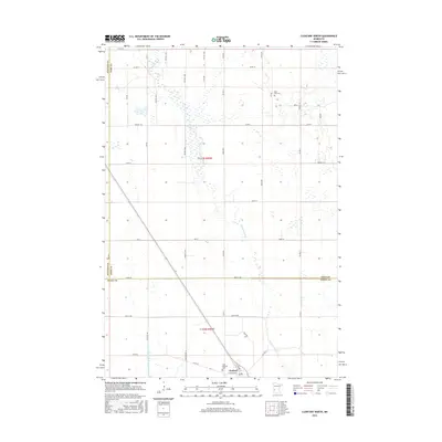
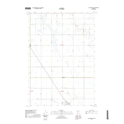
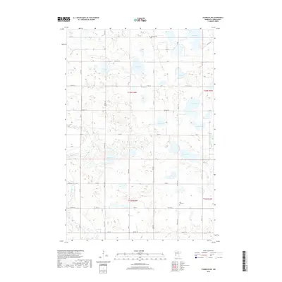
1968 Clontarf North
Pope County, MN
1968 Lake Hassel
Pope County, MN
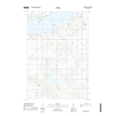
1968 Lake Minnewaska
Pope County, MN
1968 Lake Simon
Pope County, MN
1968 Starbuck NW
Pope County, MN
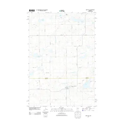
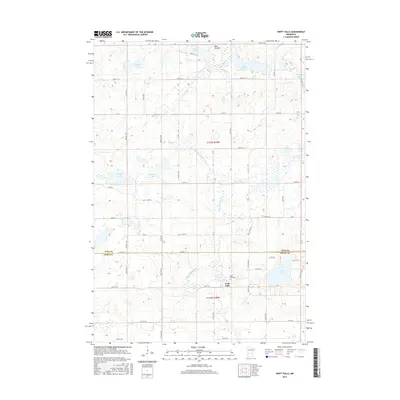
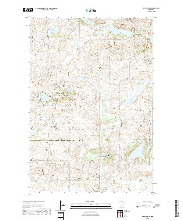
1968 Swift Falls
Pope County, MN
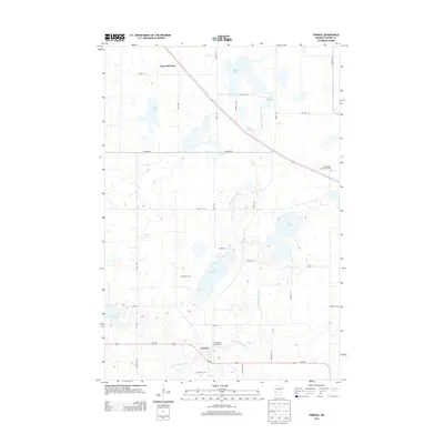
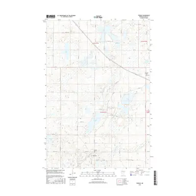
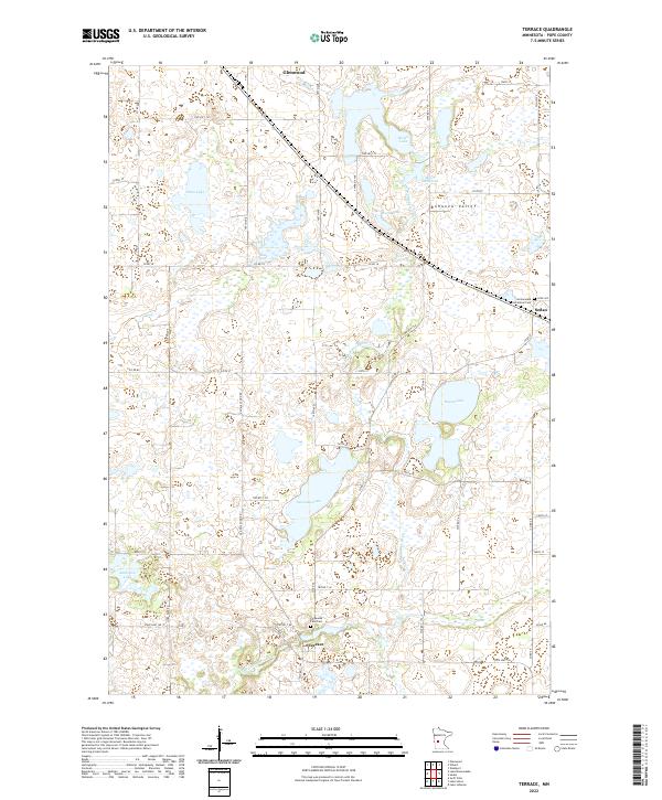
1968 Terrace
Pope County, MN
1986 Lake Minnewaska
Pope County, MN
2010 Clontarf North
Pope County, MN
2010 Lake Hassel
Pope County, MN
2010 Lake Johanna
Pope County, MN
2010 Lake Minnewaska
Pope County, MN
2010 Lake Simon
Pope County, MN
2010 Starbuck NW
Pope County, MN
2010 Swift Falls
Pope County, MN
2010 Terrace
Pope County, MN
2013 Clontarf North
Pope County, MN
2013 Lake Hassel
Pope County, MN
2013 Lake Johanna
Pope County, MN
2013 Lake Minnewaska
Pope County, MN
2013 Lake Simon
Pope County, MN
2013 Starbuck NW
Pope County, MN
2013 Swift Falls
Pope County, MN
2013 Terrace
Pope County, MN
2016 Clontarf North
Pope County, MN
2016 Lake Hassel
Pope County, MN
2016 Lake Johanna
Pope County, MN
2016 Lake Minnewaska
Pope County, MN
2016 Lake Simon
Pope County, MN
2016 Starbuck NW
Pope County, MN
2016 Swift Falls
Pope County, MN
2016 Terrace
Pope County, MN
2019 Clontarf North
Pope County, MN
2019 Lake Hassel
Pope County, MN
2019 Lake Johanna
Pope County, MN
2019 Lake Minnewaska
Pope County, MN
2019 Lake Simon
Pope County, MN
2019 Starbuck NW
Pope County, MN
2019 Swift Falls
Pope County, MN
2019 Terrace
Pope County, MN
2022 Clontarf North
Pope County, MN
2022 Lake Hassel
Pope County, MN
2022 Lake Johanna
Pope County, MN
2022 Lake Minnewaska
Pope County, MN
2022 Lake Simon
Pope County, MN
2022 Starbuck NW
Pope County, MN
2022 Swift Falls
Pope County, MN
2022 Terrace
Pope County, MN