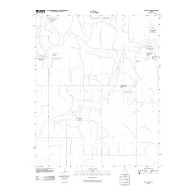
2010 Map of Lake June
USGS Topo · Published 2010About this map
The Washita River and its various tributaries define this Hemphill County landscape, which by 2010 was heavily shaped by water conservation infrastructure. A network of reservoirs, including Lake June and Lake Sharon, demonstrates the regional reliance on soil conservation dams to manage the flow of Threemile Creek and the Dry Fork Washita River. This hydrological management is essential for the operations at Alexander Ranch and surrounding agricultural lands.
Find a feature on this map
40 named features on this map. Tap any name to fly to it.
Don’t see what you’re looking for? This feature index may not catch every label — zoom into the map to look around manually.
Map Details
Editions of this 2010 Lake June Map
This is the sole edition of this map. No revisions or reprints were ever made.
Other maps of this area

1954 · Amarillo
USGS Topo · 1:250,000

1958 · Amarillo
USGS Topo · 1:250,000

1963 · Allison
USGS Topo · 1:24,000

1963 · Briscoe
USGS Topo · 1:24,000

1963 · Allison SW
USGS Topo · 1:24,000

1967 · Dads Creek
USGS Topo · 1:24,000

1967 · Gem
USGS Topo · 1:24,000

1967 · Hackberry Creek
USGS Topo · 1:24,000

1967 · Lake June
USGS Topo · 1:24,000

1967 · Blue Ridge School
USGS Topo · 1:24,000