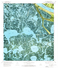
1973 Map of Lake Laurier
USGS Topo · Published 1976About this map
The Mississippi River defines the northeastern edge of this coastal landscape, where a massive Levee and the New Orleans and Lower Coast transportation route separate the river from the sinking wetlands of the delta. Settled life clings to the high ground near the riverbank at Bellevue, Harlem, and Deer Range, the latter of which includes the Deer Range Cem. Beyond the protective embankments, the terrain dissolves into a complex network of marshes, where Wilkinson Canal cuts a straight line through natural waterways like Bayou Dupont and Bayou McCutchen.
Find a feature on this map
33 named features on this map. Tap any name to fly to it.
Don’t see what you’re looking for? This feature index may not catch every label — zoom into the map to look around manually.
Map Details
Editions of this 1973 Lake Laurier Map
2 editions found
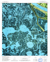
Other maps of this area

1891 · Pointe a La Hache
USGS Topo · 1:62,500

1892 · Barataria
USGS Topo · 1:62,500

1892 · Creole
USGS Topo · 1:62,500

1892 · Pointe a La Hache
USGS Topo · 1:62,500

1893 · Fort Livingston
USGS Topo · 1:62,500

1935 · Lake Batola
USGS Topo · 1:31,680

1935 · Wilkinson Bay
USGS Topo · 1:31,680

1939 · Pointe a La Hache
USGS Topo · 1:62,500

1941 · Barataria
USGS Topo · 1:62,500

1944 · Barataria
USGS Topo · 1:62,500