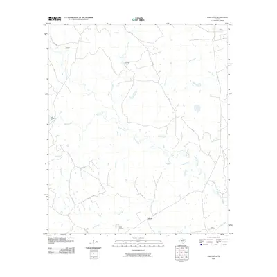
2010 Map of Lake Leon
USGS Topo · Published 2010About this map
Upper Keechi Creek and its many tributaries, including Buffalo Creek and Resaca Creek, define the drainage patterns across this Leon County landscape. The area is characterized by a mix of agricultural land and energy extraction, most notably the Oakwood Oil Field in the northwest. Local history is anchored by the small communities of Nineveh and Russell, which serve as hubs for the surrounding network of farm-to-market roads and county routes. Genealogists will find several historic burial grounds preserved here, such as Lamon Cemetery, North Creek Cemetery, and Tubbs Cemetery. Small-scale water management is evident through features like Crow Dam on Lake Leon and the Lake Elverda Dam, illustrating the local reliance on these creeks for stock water and recreation in the early 21st century.
Find a feature on this map
34 named features on this map. Tap any name to fly to it.
Don’t see what you’re looking for? This feature index may not catch every label — zoom into the map to look around manually.
Map Details
Editions of this 2010 Lake Leon Map
This is the sole edition of this map. No revisions or reprints were ever made.
Other maps of this area

1951 · Elkhart
USGS Topo · 1:62,500

1953 · Palestine
USGS Topo · 1:250,000

1957 · Palestine
USGS Topo · 1:250,000

1964 · Oakwood
USGS Topo · 1:24,000

1964 · Centerville
USGS Topo · 1:24,000

1964 · Flo
USGS Topo · 1:24,000

1964 · Eunice
USGS Topo · 1:24,000

1964 · Halls Bluff
USGS Topo · 1:24,000

1964 · Keechi
USGS Topo · 1:24,000

1964 · Lake Leon
USGS Topo · 1:24,000