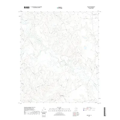
2019 Map of Lake Leon
USGS Topo · Published 2019About this map
Upper Keechi Creek dominates this section of Leon County, winding through a landscape defined by its creek bottoms and rural road networks. The small community of Nineveh serves as a local anchor near the southern boundary, situated at the junction of several county roads including FM 3178. This 2019 survey documents a region where water management and agriculture are central, with Lake Leon and Birch Creek feeding the larger drainage system of the Keechi watershed. For genealogists and local historians, the sheet preserves the locations of several family and community burial grounds, such as North Creek Cemetery, Lamon Cemetery, and Tubbs Cemetery, providing critical spatial context for ancestral research in this part of East Texas. The network of farm-to-market roads and numbered county routes reveals a persistent pattern of rural settlement and land use characteristic of the region's modern agricultural era.
Find a feature on this map
41 named features on this map. Tap any name to fly to it.
Don’t see what you’re looking for? This feature index may not catch every label — zoom into the map to look around manually.
Map Details
Editions of this 2019 Lake Leon Map
This is the sole edition of this map. No revisions or reprints were ever made.
Other maps of this area
1951 · Elkhart
USGS Topo · 1:62,500

1953 · Palestine
USGS Topo · 1:250,000

1957 · Palestine
USGS Topo · 1:250,000
1964 · Oakwood
USGS Topo · 1:24,000
1964 · Centerville
USGS Topo · 1:24,000
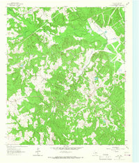
1964 · Flo
USGS Topo · 1:24,000
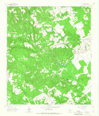
1964 · Eunice
USGS Topo · 1:24,000
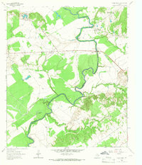
1964 · Halls Bluff
USGS Topo · 1:24,000
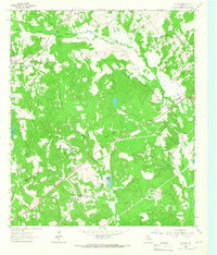
1964 · Keechi
USGS Topo · 1:24,000
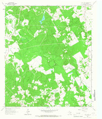
1964 · Lake Leon
USGS Topo · 1:24,000