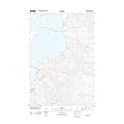
2013 Map of Lake Lida
USGS Topo · Published 2013About this map
Lake Lida dominates this landscape in Otter Tail County, its complex shoreline defining the local development patterns of the early 21st century. The density of small, interconnected water bodies like Crystal Lake, Lake Franklin, and Lake Lizzie reflects a region deeply tied to its glacial hydrology. Road networks such as MN-108 and Co HWY-4 provide access to lakeside settlements like Stoney Bar, while numerous residential lanes like Silent Haven Dr and San Dee Cove Dr illustrate the growth of recreational and permanent housing around the water's edge.
Find a feature on this map
65 named features on this map. Tap any name to fly to it.
Don’t see what you’re looking for? This feature index may not catch every label — zoom into the map to look around manually.
Map Details
Editions of this 2013 Lake Lida Map
This is the sole edition of this map. No revisions or reprints were ever made.
Other maps of this area

1912 · Vergas
USGS Topo · 1:62,500

1913 · Fergus Falls
USGS Topo · 1:62,500

1914 · Pelican Rapids
USGS Topo · 1:62,500

1915 · Underwood
USGS Topo · 1:62,500

1915 · Vergas
USGS Topo · 1:62,500

1917 · Pelican Rapids
USGS Topo · 1:62,500

1953 · Fargo
USGS Topo · 1:250,000

1953 · Brainerd
USGS Topo · 1:250,000

1956 · Fargo
USGS Topo · 1:250,000

1957 · Brainerd
USGS Topo · 1:250,000