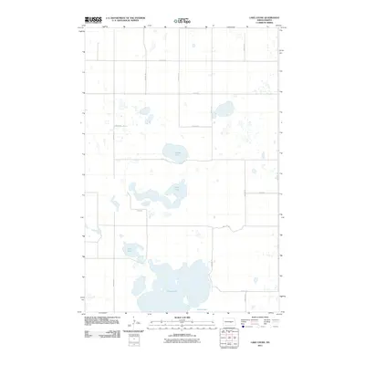
2011 Map of Lake Louise
USGS Topo · Published 2011About this map
Chase Lake and its surrounding wetlands dominate this prairie landscape in North Dakota. This section of the Missouri Coteau region is characterized by its numerous glacial kettles and basins, including Lake Louise, Chicago Lake, and Fisher Lake. The map reveals a strictly regulated Jeffersonian grid system, where section lines are marked by rural gravel roads like 48th Ave SE and 24th St SE. The concentration of large water bodies amidst this agricultural layout suggests a terrain where topography and natural hydrology have dictated the placement of travel corridors and homesteads, preserving substantial aquatic habitats within the inland drainage system.
Find a feature on this map
17 named features on this map. Tap any name to fly to it.
Don’t see what you’re looking for? This feature index may not catch every label — zoom into the map to look around manually.
Map Details
Editions of this 2011 Lake Louise Map
This is the sole edition of this map. No revisions or reprints were ever made.
Other maps of this area

1952 · Tappen NE
USGS Topo · 1:24,000

1952 · New Rockford
USGS Topo · 1:250,000

1953 · Jamestown
USGS Topo · 1:250,000

1954 · Medina
USGS Topo · 1:24,000

1955 · Crystal Springs
USGS Topo · 1:24,000

1956 · New Rockford
USGS Topo · 1:250,000

1956 · Jamestown
USGS Topo · 1:250,000

1971 · New Rockford
USGS Topo · 1:250,000

1972 · Woodworth
USGS Topo · 1:24,000
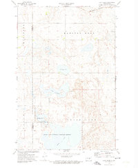
1972 · Lake Louise
USGS Topo · 1:24,000