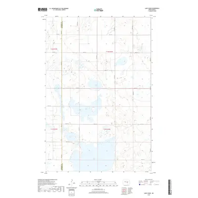
2018 Map of Lake Louise
USGS Topo · Published 2018About this map
Chase Lake dominates the southern landscape of this prairie region, sitting at the junction of Kidder and Stutsman counties. This 2018 survey reveals a landscape defined by significant water bodies and a rigid grid of rural section roads, including 24th St SE and 50th Ave SE. The area is characterized by these expansive shallow basins, with Lake Louise and Fisher Lake providing critical landmarks for local land use and hydrology. Further north, the smaller Chicago Lake is centered within the township grid of t142n r69w. The map preserves the exact alignment of these county-line roads and rural corridors as they existed in the late 2010s, offering a clear record of the physical geography of this North Dakota wetland complex.
Find a feature on this map
23 named features on this map. Tap any name to fly to it.
Don’t see what you’re looking for? This feature index may not catch every label — zoom into the map to look around manually.
Map Details
Editions of this 2018 Lake Louise Map
This is the sole edition of this map. No revisions or reprints were ever made.
Other maps of this area

1952 · Tappen NE
USGS Topo · 1:24,000

1952 · New Rockford
USGS Topo · 1:250,000

1953 · Jamestown
USGS Topo · 1:250,000

1954 · Medina
USGS Topo · 1:24,000

1955 · Crystal Springs
USGS Topo · 1:24,000

1956 · New Rockford
USGS Topo · 1:250,000

1956 · Jamestown
USGS Topo · 1:250,000

1971 · New Rockford
USGS Topo · 1:250,000

1972 · Woodworth
USGS Topo · 1:24,000
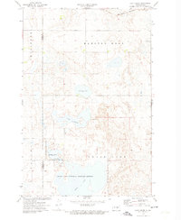
1972 · Lake Louise
USGS Topo · 1:24,000