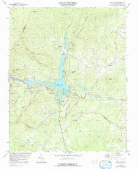
1982 Map of Lake Lure
USGS Topo · Published 1992About this map
Lake Lure sits at the heart of this mountain landscape, its convoluted shoreline defining the local topography where the Broad River and various mountain creeks converge. The map documents the established resort and residential character of the early 1980s, featuring multiple youth retreats such as Camp Occoneechee and Camp Lurecrest. Settlement patterns follow the narrow valley floors and gaps between prominent peaks like Rumbling Bald Mtn and Shumont Mtn.
Find a feature on this map
47 named features on this map. Tap any name to fly to it.
Don’t see what you’re looking for? This feature index may not catch every label — zoom into the map to look around manually.
Map Details
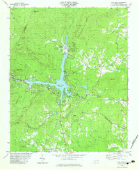
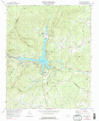
Editions of this 1982 Lake Lure Map
3 editions found
Other maps of this area

1900 · Mount Mitchell
USGS Topo · 1:125,000

1902 · Mount Mitchell
USGS Topo · 1:125,000

1907 · Saluda
USGS Topo · 1:125,000

1935 · Batcave
USGS Topo · 1:24,000

1935 · Black Mountain
USGS Topo · 1:24,000

1935 · Fishtop
USGS Topo · 1:24,000

1941 · Black Mountain
USGS Topo · 1:24,000
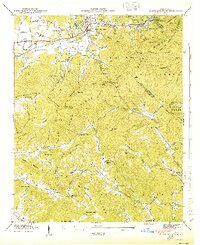
1943 · Black Mountain
USGS Topo · 1:24,000

1946 · Bat Cave
USGS Topo · 1:24,000

1946 · Cliffield Mtn
USGS Topo · 1:24,000