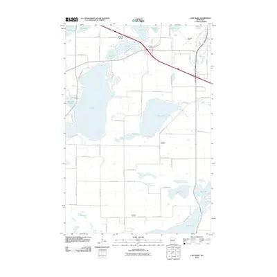
2010 Map of Lake Mary
USGS Topo · Published 2010About this map
Lake Mary and its surrounding glacial basins define this landscape south of Alexandria at the turn of the 21st century. The map reveals a transition between concentrated recreation at the Surfside Resort and RV Park and more secluded water bodies like Skogland Slough and Mud Lake. This era shows a well-developed network of local roads such as Granlund Dr SW and Pheasant Way SW that provide access to the numerous lakefronts, while the presence of Evergreen Cemetery and Bohemian Cemetery anchors the contemporary map to the area's pioneer heritage.
Find a feature on this map
58 named features on this map. Tap any name to fly to it.
Don’t see what you’re looking for? This feature index may not catch every label — zoom into the map to look around manually.
Map Details
Editions of this 2010 Lake Mary Map
This is the sole edition of this map. No revisions or reprints were ever made.
Other maps of this area

1953 · Saint Cloud
USGS Topo · 1:250,000

1957 · Saint Cloud
USGS Topo · 1:250,000

1958 · Saint Cloud
USGS Topo · 1:250,000

1966 · Brandon
USGS Topo · 1:24,000

1966 · Alexandria West
USGS Topo · 1:24,000

1966 · Farwell
USGS Topo · 1:24,000

1966 · Lake Mary
USGS Topo · 1:24,000

1966 · Alexandria East
USGS Topo · 1:24,000

1966 · Forada
USGS Topo · 1:24,000

1968 · Lowry
USGS Topo · 1:24,000