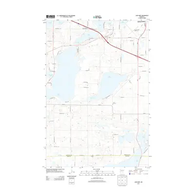
2013 Map of Lake Mary
USGS Topo · Published 2013About this map
The Ohio River forms the central artery of this 1912 survey, winding between the riverfront communities of Ghent and Vevay. The region is defined by its strategic waterways, most notably the confluence where the Kentucky River meets the Ohio. Transportation is a dominant theme, with the L & N RR snaking through the hills and valleys, intersecting at Short Line Jct. Further inland, the map documents a network of rural settlements such as Worthville, Sanders, and Eagle Station, each connected by primitive roads and proximity to smaller creeks like the Little Kentucky River. For those researching local history, the placement of the Odd Fellows Cemetery, Masonic Cemetery, and Lamb Church offers specific points of interest for identifying early 20th-century social and community hubs. The terrain is characterized by intricate drainage patterns from Sugar Creek and Mud Lick, illustrating the agricultural potential of the Kentucky and Indiana borderlands.
Find a feature on this map
2 named features on this map. Tap any name to fly to it.
Don’t see what you’re looking for? This feature index may not catch every label — zoom into the map to look around manually.
Map Details
Editions of this 2013 Lake Mary Map
This is the sole edition of this map. No revisions or reprints were ever made.
Other maps of this area

1953 · Saint Cloud
USGS Topo · 1:250,000

1957 · Saint Cloud
USGS Topo · 1:250,000

1958 · Saint Cloud
USGS Topo · 1:250,000

1966 · Brandon
USGS Topo · 1:24,000

1966 · Alexandria West
USGS Topo · 1:24,000

1966 · Farwell
USGS Topo · 1:24,000

1966 · Lake Mary
USGS Topo · 1:24,000

1966 · Alexandria East
USGS Topo · 1:24,000

1966 · Forada
USGS Topo · 1:24,000

1968 · Lowry
USGS Topo · 1:24,000