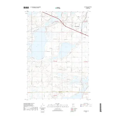
2019 Map of Lake Mary
USGS Topo · Published 2019About this map
Alexandria serves as the urban anchor in the northeast corner of this landscape, where the municipal limits reach toward the waters of Lake Winona and the aviation facilities at Chandler Field. The surrounding terrain is defined by a dense network of glacial lakes, including the expansive Lake Mary and Lake Andrew. This aquatic geography significantly influenced local settlement patterns, with roads like Pospisil Dr SW and Lake Mary Rd SW tracing the irregular shorelines. Genealogy and local history are anchored by several notable burial sites situated near these waters, including Evergreen Cem, Lake Mary Cem, and the Bohemian Cem located near the border of Douglas Co and Pope Co. The map captures the interface between growing residential expansion and the traditional lakefront landscape that has long characterized this portion of central Minnesota.
Find a feature on this map
95 named features on this map. Tap any name to fly to it.
Don’t see what you’re looking for? This feature index may not catch every label — zoom into the map to look around manually.
Map Details
Editions of this 2019 Lake Mary Map
This is the sole edition of this map. No revisions or reprints were ever made.
Other maps of this area

1953 · Saint Cloud
USGS Topo · 1:250,000

1957 · Saint Cloud
USGS Topo · 1:250,000

1958 · Saint Cloud
USGS Topo · 1:250,000

1966 · Brandon
USGS Topo · 1:24,000

1966 · Alexandria West
USGS Topo · 1:24,000

1966 · Farwell
USGS Topo · 1:24,000

1966 · Lake Mary
USGS Topo · 1:24,000

1966 · Alexandria East
USGS Topo · 1:24,000

1966 · Forada
USGS Topo · 1:24,000

1968 · Lowry
USGS Topo · 1:24,000