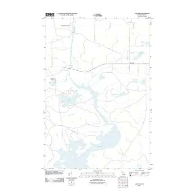
2011 Map of Lake Mary
USGS Topo · Published 2011About this map
The Michigamme River flows through this portion of Iron County, connecting a network of glacial lakes and reservoirs within the Michigan State Forest system. The settlement of Mansfield and the nearby Mansfield Location represent the primary residential clusters in a landscape otherwise defined by recreational and timber lands. The river’s path is interrupted by Glidden Rapids before widening into the expansive Peavy Pond in the south.
Find a feature on this map
48 named features on this map. Tap any name to fly to it.
Don’t see what you’re looking for? This feature index may not catch every label — zoom into the map to look around manually.
Map Details
Editions of this 2011 Lake Mary Map
This is the sole edition of this map. No revisions or reprints were ever made.
Other maps of this area

1899 · Sagola
USGS Topo · 1:62,500

1899 · Crystal Falls
USGS Topo · 1:62,500

1939 · Iron Mountain
USGS Topo · 1:48,000

1941 · Florence
USGS Topo · 1:48,000

1941 · Iron Mountain
USGS Topo · 1:48,000

1944 · Crystal Falls
USGS Topo · 1:24,000

1945 · Kelso Junction
USGS Topo · 1:24,000

1946 · Crystal Falls
USGS Topo · 1:31,680

1947 · Iron Mountain
USGS Topo · 1:48,000

1947 · Stager
USGS Topo · 1:24,000