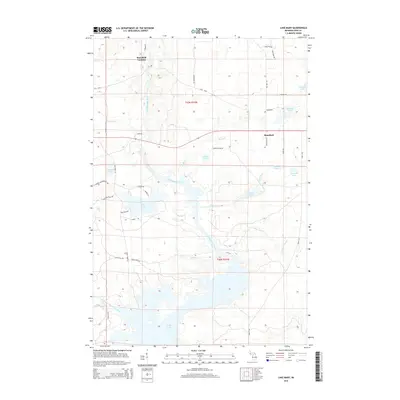
2014 Map of Lake Mary
USGS Topo · Published 2014About this map
Mansfield Location and the village of Mansfield anchor this Iron County landscape, where the Michigamme River meanders south toward the expansive Peavy Pond. The topography is defined by its water systems and timber access, with numerous tributaries like Kukura Cr and Camp Five Cr feeding into the main river channel. Transport routes such as Old M-69 and Stream Rd wind through the township, reflecting a layout dictated by the complex local hydrology and the needs of the logging and mining industries.
Find a feature on this map
47 named features on this map. Tap any name to fly to it.
Don’t see what you’re looking for? This feature index may not catch every label — zoom into the map to look around manually.
Map Details
Editions of this 2014 Lake Mary Map
This is the sole edition of this map. No revisions or reprints were ever made.
Other maps of this area

1899 · Sagola
USGS Topo · 1:62,500

1899 · Crystal Falls
USGS Topo · 1:62,500

1939 · Iron Mountain
USGS Topo · 1:48,000

1941 · Florence
USGS Topo · 1:48,000

1941 · Iron Mountain
USGS Topo · 1:48,000

1944 · Crystal Falls
USGS Topo · 1:24,000

1945 · Kelso Junction
USGS Topo · 1:24,000

1946 · Crystal Falls
USGS Topo · 1:31,680

1947 · Iron Mountain
USGS Topo · 1:48,000

1947 · Stager
USGS Topo · 1:24,000