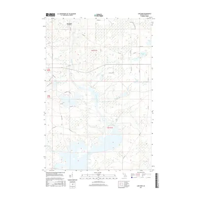
2017 Map of Lake Mary
USGS Topo · Published 2017About this map
Mansfield Location serves as the primary historical anchor in this northern Michigan landscape, situated at the upper reaches of the Michigamme River. The river system defines the local geography, flowing through Glidden Rapids and into the expansive waters of Peavy Pond to the south. This modern survey reflects a region deeply shaped by its hydrography and forestry, where named waters like Lake Mary, Glidden Lake, and Erickson Lake are connected by a network of drainage creeks and the engineered Little Bull Diversion Canal.
Find a feature on this map
45 named features on this map. Tap any name to fly to it.
Don’t see what you’re looking for? This feature index may not catch every label — zoom into the map to look around manually.
Map Details
Editions of this 2017 Lake Mary Map
This is the sole edition of this map. No revisions or reprints were ever made.
Other maps of this area

1899 · Sagola
USGS Topo · 1:62,500

1899 · Crystal Falls
USGS Topo · 1:62,500

1939 · Iron Mountain
USGS Topo · 1:48,000

1941 · Florence
USGS Topo · 1:48,000

1941 · Iron Mountain
USGS Topo · 1:48,000

1944 · Crystal Falls
USGS Topo · 1:24,000

1945 · Kelso Junction
USGS Topo · 1:24,000

1946 · Crystal Falls
USGS Topo · 1:31,680

1947 · Iron Mountain
USGS Topo · 1:48,000

1947 · Stager
USGS Topo · 1:24,000