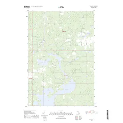
2023 Map of Lake Mary
USGS Topo · Published 2023About this map
Mansfield Location sits in the northern reaches of this Iron County landscape, marking a legacy of settlement near the iron-bearing formations of the Upper Peninsula. The Michigamme River serves as the primary hydrologic spine, flowing south through Glidden Rapids and widening into the expansive Peavy Pond. This reservoir, created for hydroelectric power, dominates the southern half of the map, while Lake Mary and Glidden Lake occupy the central woodlands.
Find a feature on this map
47 named features on this map. Tap any name to fly to it.
Don’t see what you’re looking for? This feature index may not catch every label — zoom into the map to look around manually.
Map Details
Editions of this 2023 Lake Mary Map
This is the sole edition of this map. No revisions or reprints were ever made.
Other maps of this area

1899 · Sagola
USGS Topo · 1:62,500

1899 · Crystal Falls
USGS Topo · 1:62,500

1939 · Iron Mountain
USGS Topo · 1:48,000

1941 · Florence
USGS Topo · 1:48,000

1941 · Iron Mountain
USGS Topo · 1:48,000

1944 · Crystal Falls
USGS Topo · 1:24,000

1945 · Kelso Junction
USGS Topo · 1:24,000

1946 · Crystal Falls
USGS Topo · 1:31,680

1947 · Iron Mountain
USGS Topo · 1:48,000

1947 · Stager
USGS Topo · 1:24,000