
1943 Map of Lake Maskenozha
USGS Topo · Published 1943About this map
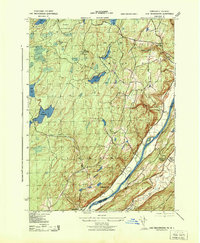
The Delaware River flows through the heart of this 1940s landscape, serving as the border between Pennsylvania and New Jersey. The topographic survey reveals a region defined by its water and woods, from the larger Lake Maskenozha and Silver Lake to the smaller Richard Lake and Minks Pond. On the Pennsylvania side, the G W Childs State Forest Park and the USGS Dry Meadow Fire Tower overlook the wooded hills, while the New Jersey side is dominated by the Kittatinny Mountains and the winding Flat Brook. Small settlements and landmarks like Wallpack Center, with its Wallpack Center School, and Delaware PO indicate the rural community structure of the era. The presence of Shappack Island and Buck Bar in the river suggests the shifting currents and geography of the Delaware before later twentieth-century developments altered the valley.
Find a feature on this map
25 named features on this map. Tap any name to fly to it.
Don’t see what you’re looking for? This feature index may not catch every label — zoom into the map to look around manually.
Map Details
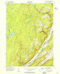
Editions of this 1943 Lake Maskenozha Map
3 editions found
Other maps of this area

1891 · Wallpack
USGS Topo · 1:62,500

1893 · Wallpack
USGS Topo · 1:62,500

1913 · Milford
USGS Topo · 1:62,500

1915 · Milford
USGS Topo · 1:62,500

1924 · Bushkill
USGS Topo · 1:48,000

1935 · Hawley
USGS Topo · 1:62,500

1938 · Hawley
USGS Topo · 1:62,500

1943 · Bushkill
USGS Topo · 1:62,500
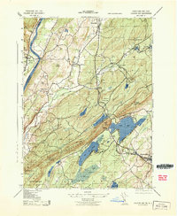
1943 · Culvers Gap
USGS Topo · 1:31,680
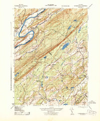
1943 · Flatbrookville
USGS Topo · 1:31,680
Featured Places
- Delaware, Lehman Township
- Stillwater Township, NJ
- Wallpack Center, Walpack Township
- Lehman Township, PA
- Wild Acres, Delaware Township