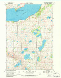
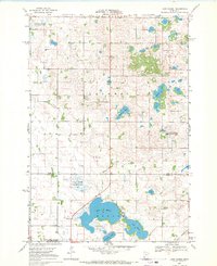
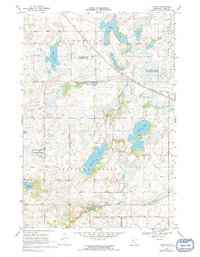
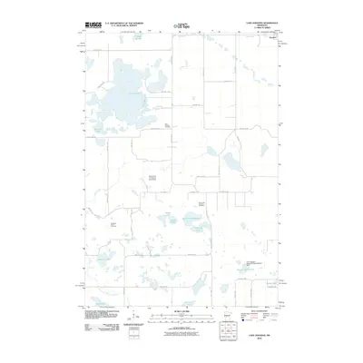
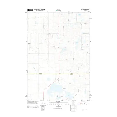
1968 Map of Lake Minnewaska
USGS Topo · Published 1986About this map
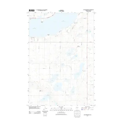
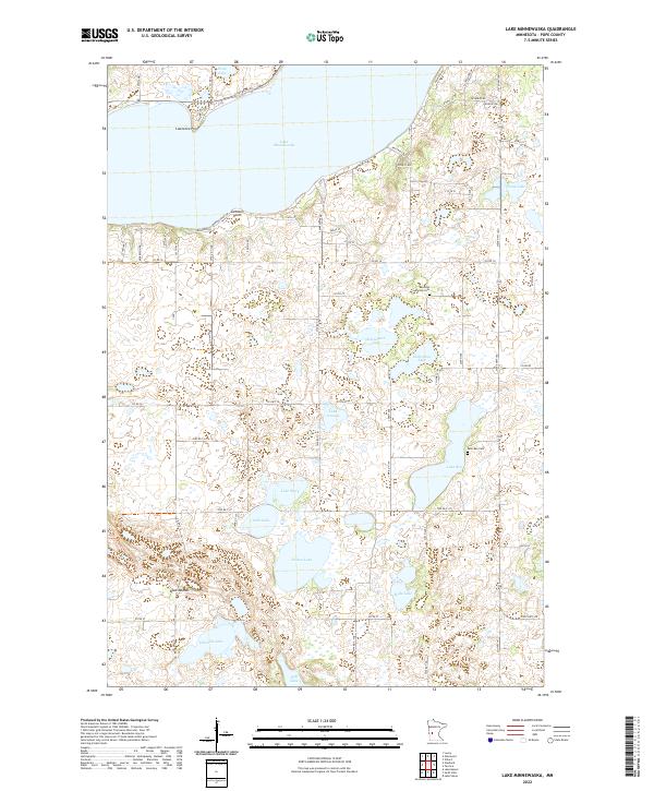
Lake Minnewaska dominates the northern landscape of this Pope County region, characterized by its deep waters and prominent shoreline features like Lawrence Point and Swenson Point. During the late 1960s, the area maintained a balance of agricultural lands and recreational spaces, evidenced by the Pezhekee Golf Course overlooking the water. The southern portion of the map reveals a high density of smaller glacial lakes, including Nelson Lake, Lake Mary, and Lake Ben, which are interspersed with localized landmarks such as the Townhall and Barsness Ch. Historical transportation is anchored by the Northern Pacific railroad corridor, which skirts the northern lake shore. The map also documents specific cultural sites for genealogists and local historians, such as the Lake Ben Cem and scattered Gravel Pits that suggest the era's local extractive industry.
Find a feature on this map
27 named features on this map. Tap any name to fly to it.
Don’t see what you’re looking for? This feature index may not catch every label — zoom into the map to look around manually.
Map Details
Editions of this 1968 Lake Minnewaska Map
2 editions found
Historical Maps of Pope County Through Time
49 maps found
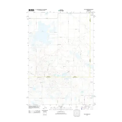
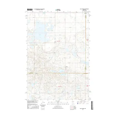
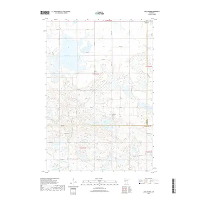
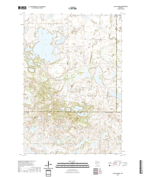
1967 Lake Johanna
Pope County, MN
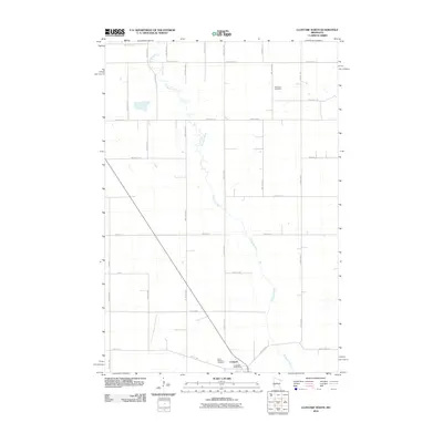
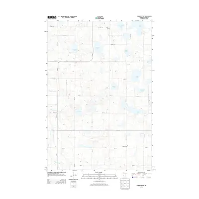
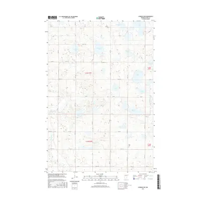
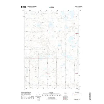
1968 Clontarf North
Pope County, MN
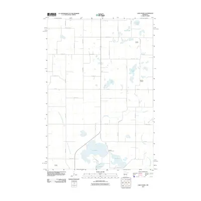
1968 Lake Hassel
Pope County, MN
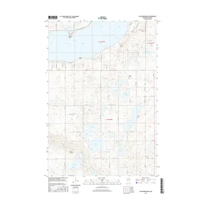
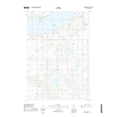
1968 Lake Minnewaska
Pope County, MN
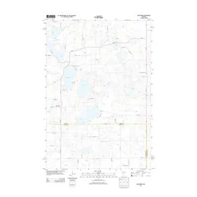
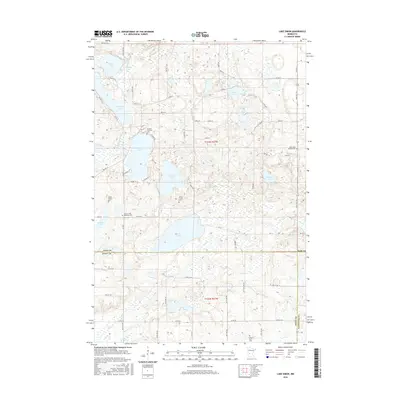
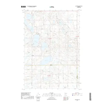
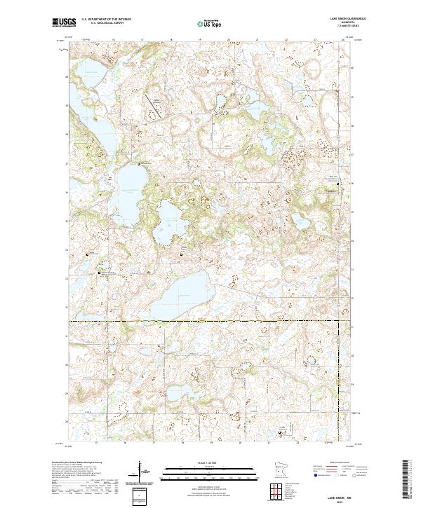
1968 Lake Simon
Pope County, MN
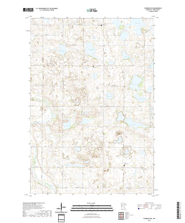
1968 Starbuck NW
Pope County, MN
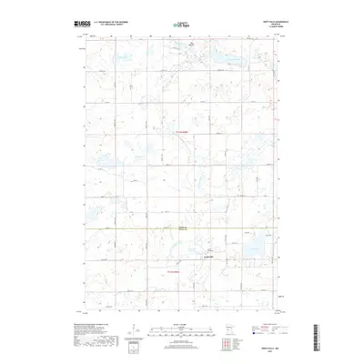
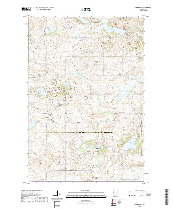
1968 Swift Falls
Pope County, MN
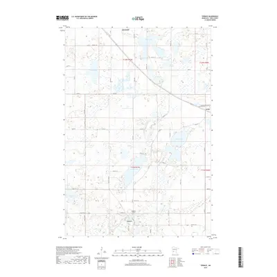
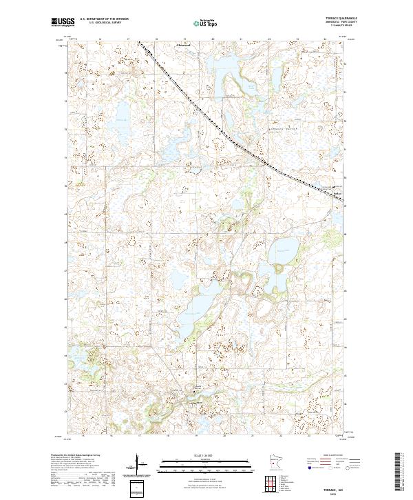
1968 Terrace
Pope County, MN
1986 Lake Minnewaska
Pope County, MN
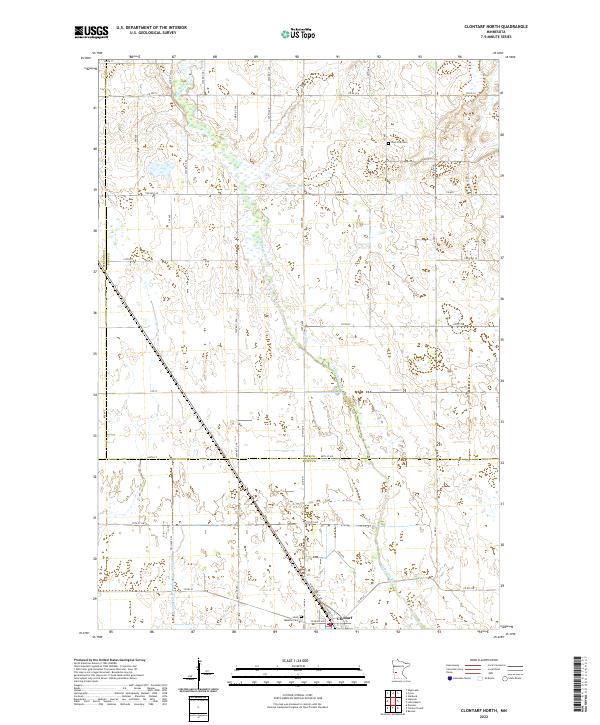
2010 Clontarf North
Pope County, MN
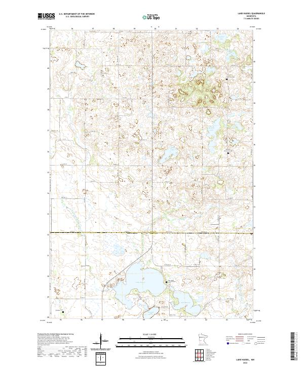
2010 Lake Hassel
Pope County, MN
2010 Lake Johanna
Pope County, MN
2010 Lake Minnewaska
Pope County, MN
2010 Lake Simon
Pope County, MN
2010 Starbuck NW
Pope County, MN
2010 Swift Falls
Pope County, MN
2010 Terrace
Pope County, MN
2013 Clontarf North
Pope County, MN
2013 Lake Hassel
Pope County, MN
2013 Lake Johanna
Pope County, MN
2013 Lake Minnewaska
Pope County, MN
2013 Lake Simon
Pope County, MN
2013 Starbuck NW
Pope County, MN
2013 Swift Falls
Pope County, MN
2013 Terrace
Pope County, MN
2016 Clontarf North
Pope County, MN
2016 Lake Hassel
Pope County, MN
2016 Lake Johanna
Pope County, MN
2016 Lake Minnewaska
Pope County, MN
2016 Lake Simon
Pope County, MN
2016 Starbuck NW
Pope County, MN
2016 Swift Falls
Pope County, MN
2016 Terrace
Pope County, MN
2019 Clontarf North
Pope County, MN
2019 Lake Hassel
Pope County, MN
2019 Lake Johanna
Pope County, MN
2019 Lake Minnewaska
Pope County, MN
2019 Lake Simon
Pope County, MN
2019 Starbuck NW
Pope County, MN
2019 Swift Falls
Pope County, MN
2019 Terrace
Pope County, MN
2022 Clontarf North
Pope County, MN
2022 Lake Hassel
Pope County, MN
2022 Lake Johanna
Pope County, MN
2022 Lake Minnewaska
Pope County, MN
2022 Lake Simon
Pope County, MN
2022 Starbuck NW
Pope County, MN
2022 Swift Falls
Pope County, MN
2022 Terrace
Pope County, MN