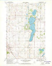
1968 Map of Villard
USGS Topo · Published 1970About this map
The waters of Lake Amelia and Villard Lake dominate this central Minnesota landscape, where the town of Villard sits at the junction of the Northern Pacific and Soo Line railroads. This 1960s-era geography reveals a rural economy shaped by glacial lakes and transportation, with the East Branch Chippewa River meandering toward Glenwood in the southwest corner. For genealogists, the map is particularly rich with small burial sites, including St Johns Cem, Lake Amelia Cem, and West Lake Amelia Cem, reflecting the early settlement patterns of Leven and Glenwood townships.
Find a feature on this map
27 named features on this map. Tap any name to fly to it.
Don’t see what you’re looking for? This feature index may not catch every label — zoom into the map to look around manually.
Map Details
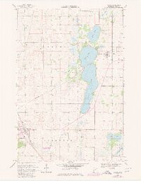
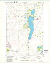
Editions of this 1968 Villard Map
3 editions found
Other maps of this area

1953 · Saint Cloud
USGS Topo · 1:250,000

1957 · Saint Cloud
USGS Topo · 1:250,000

1958 · Saint Cloud
USGS Topo · 1:250,000

1965 · Westport
USGS Topo · 1:24,000

1965 · Sedan
USGS Topo · 1:24,000

1966 · Osakis
USGS Topo · 1:24,000

1966 · Lake Mary
USGS Topo · 1:24,000

1966 · Forada
USGS Topo · 1:24,000

1968 · Glenwood
USGS Topo · 1:24,000

1968 · Terrace
USGS Topo · 1:24,000