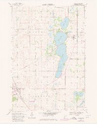
1968 Map of Villard
USGS Topo · Published 1980About this map
Villard and Glenwood anchor this survey of central Minnesota, where a complex network of glacial lakes and wetlands defines the township boundaries of Leven and Glenwood. The landscape is dominated by large water bodies such as Villard Lake, Amelia Lake, and Leven Lake, many of which feature early shoreline developments like Knapp Park. For the genealogist, the map is particularly rich in cemetery locations, including Lake Leven Cem and West Lake Amelia Cem, which often represent the earliest established settler sites in the county.
Find a feature on this map
35 named features on this map. Tap any name to fly to it.
Don’t see what you’re looking for? This feature index may not catch every label — zoom into the map to look around manually.
Map Details
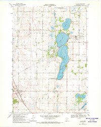
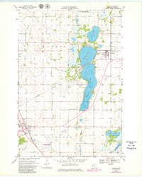
Editions of this 1968 Villard Map
3 editions found
Other maps of this area

1953 · Saint Cloud
USGS Topo · 1:250,000

1957 · Saint Cloud
USGS Topo · 1:250,000

1958 · Saint Cloud
USGS Topo · 1:250,000

1965 · Westport
USGS Topo · 1:24,000

1965 · Sedan
USGS Topo · 1:24,000

1966 · Osakis
USGS Topo · 1:24,000

1966 · Lake Mary
USGS Topo · 1:24,000

1966 · Forada
USGS Topo · 1:24,000

1968 · Glenwood
USGS Topo · 1:24,000

1968 · Terrace
USGS Topo · 1:24,000