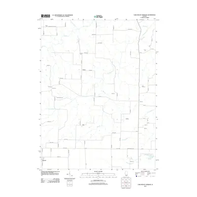
2012 Map of Lake Mount Sterling
USGS Topo · Published 2012About this map
Lake Mount Sterling and its surrounding drainage basins form the centerpiece of this rural Illinois landscape. The map details a complex network of waterways, including the meandering paths of Missouri Cr, the Little Missouri Cr, and the various branches of N Fork Shelby Cr. This area is characterized by its agricultural grid, intersected by countless local routes like Washington School Rd and Pea Ridge Rd that connect the small settlements of Timewell and Damon.
Find a feature on this map
68 named features on this map. Tap any name to fly to it.
Don’t see what you’re looking for? This feature index may not catch every label — zoom into the map to look around manually.
Map Details
Editions of this 2012 Lake Mount Sterling Map
This is the sole edition of this map. No revisions or reprints were ever made.
Other maps of this area

1923 · Rushville
USGS Topo · 1:62,500

1926 · Rushville
USGS Topo · 1:62,500

1926 · Mt Sterling
USGS Topo · 1:62,500

1928 · Meredosia
USGS Topo · 1:62,500

1929 · Mt Sterling
USGS Topo · 1:62,500

1931 · Meredosia
USGS Topo · 1:62,500

1946 · Augusta
USGS Topo · 1:62,500

1948 · Quincy
USGS Topo · 1:250,000

1949 · Augusta
USGS Topo · 1:62,500

1956 · Quincy
USGS Topo · 1:250,000