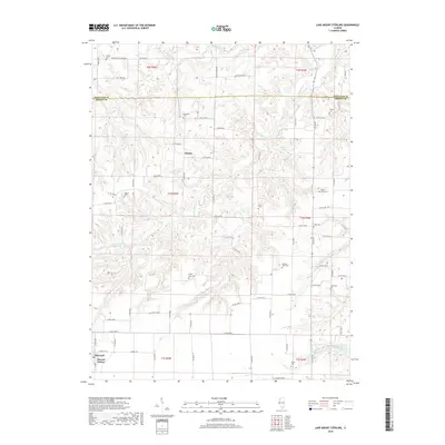
2018 Map of Lake Mount Sterling
USGS Topo · Published 2018About this map
The rolling agricultural landscape along the Schuyler Co and Brown Co border is defined by the headwaters of several key creeks including Missouri Cr and the Little Missouri Cr. The settlement of Damon sits centrally among these drainage divides, while the southwest corner of the quadrangle is anchored by Timewell and its associated Mound Station. This area is particularly rich in family-named burial grounds, such as Kinney Cem, Gristy Cem, and the Glasgow Farm Cem, which offer significant value for genealogical research in this part of Illinois.
Find a feature on this map
77 named features on this map. Tap any name to fly to it.
Don’t see what you’re looking for? This feature index may not catch every label — zoom into the map to look around manually.
Map Details
Editions of this 2018 Lake Mount Sterling Map
This is the sole edition of this map. No revisions or reprints were ever made.
Other maps of this area

1923 · Rushville
USGS Topo · 1:62,500

1926 · Rushville
USGS Topo · 1:62,500

1926 · Mt Sterling
USGS Topo · 1:62,500

1928 · Meredosia
USGS Topo · 1:62,500

1929 · Mt Sterling
USGS Topo · 1:62,500

1931 · Meredosia
USGS Topo · 1:62,500

1946 · Augusta
USGS Topo · 1:62,500

1948 · Quincy
USGS Topo · 1:250,000

1949 · Augusta
USGS Topo · 1:62,500

1956 · Quincy
USGS Topo · 1:250,000