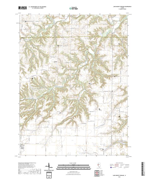
2024 Map of Lake Mount Sterling
USGS Topo · Published 2024About this map
Little Missouri Creek and its many winding tributaries, including Missouri Creek and the South Branch, carve deep valleys through this part of the Schuyler and Brown County line. The settlement at Mound Station and the rural center at Damon anchor a landscape defined by an intricate grid of county roads, such as Pea Ridge Rd and Washington School Rd. Local history is deeply embedded in the land here, evidenced by numerous family and pioneer burial grounds scattered across the terrain.
Find a feature on this map
53 named features on this map. Tap any name to fly to it.
Don’t see what you’re looking for? This feature index may not catch every label — zoom into the map to look around manually.
Map Details
Editions of this 2024 Lake Mount Sterling Map
This is the sole edition of this map. No revisions or reprints were ever made.
Other maps of this area

1923 · Rushville
USGS Topo · 1:62,500

1926 · Rushville
USGS Topo · 1:62,500

1926 · Mt Sterling
USGS Topo · 1:62,500

1928 · Meredosia
USGS Topo · 1:62,500

1929 · Mt Sterling
USGS Topo · 1:62,500

1931 · Meredosia
USGS Topo · 1:62,500

1946 · Augusta
USGS Topo · 1:62,500

1948 · Quincy
USGS Topo · 1:250,000

1949 · Augusta
USGS Topo · 1:62,500

1956 · Quincy
USGS Topo · 1:250,000