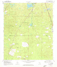
1969 Map of Lake Munson
USGS Topo · Published 1972About this map
Apalachicola National Forest dominates this landscape south of Tallahassee, where the karst topography of northern Florida is clearly visible through numerous depressions and water features. The map illustrates a transitional zone where the terrestrial forest meets the aquatic drainage of Lake Munson and Munson Slough. In the eastern portion, the Seaboard Coast Line railroad runs parallel to the growing community of Woodville, while smaller settlements like Springhill, Lutterloh, and Bethel are scattered along the rural road network.
Find a feature on this map
20 named features on this map. Tap any name to fly to it.
Don’t see what you’re looking for? This feature index may not catch every label — zoom into the map to look around manually.
Map Details
Editions of this 1969 Lake Munson Map
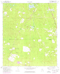
2 editions found
Other maps of this area

1940 · Tallahassee
USGS Topo · 1:62,500

1940 · Arran
USGS Topo · 1:62,500

1942 · Tallahassee
USGS Topo · 1:62,500

1943 · Arran
USGS Topo · 1:62,500

1943 · Tallahassee
USGS Topo · 1:62,500

1954 · Lafayette
USGS Topo · 1:24,000

1954 · Woodville
USGS Topo · 1:24,000

1954 · St. Marks
USGS Topo · 1:24,000

1954 · Tallahassee
USGS Topo · 1:250,000

1959 · Tallahassee
USGS Topo · 1:250,000