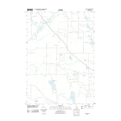
2011 Map of Lake NE
USGS Topo · Published 2011About this map
The Muskegon River and North Branch Chippewa River define the hydrological character of this Garfield Township landscape, where numerous glacial lakes are concentrated among a network of rural routes and trails. The southern edge of the map features the settlement of Chippewa, situated near the sprawling waters of Big Cranberry Lake and Big Mud Lake. This area is notable for its recreational and natural resource footprint, anchored by the Mud Lake State Forest Campground.
Find a feature on this map
55 named features on this map. Tap any name to fly to it.
Don’t see what you’re looking for? This feature index may not catch every label — zoom into the map to look around manually.
Map Details
Editions of this 2011 Lake NE Map
This is the sole edition of this map. No revisions or reprints were ever made.
Other maps of this area

1954 · Traverse City
USGS Topo · 1:250,000

1954 · Midland
USGS Topo · 1:250,000

1957 · Harrison
USGS Topo · 1:62,500

1957 · Marion
USGS Topo · 1:62,500

1958 · Traverse City
USGS Topo · 1:250,000

1958 · Midland
USGS Topo · 1:250,000

1959 · Midland
USGS Topo · 1:250,000

1959 · Lake
USGS Topo · 1:62,500

1959 · Clare
USGS Topo · 1:62,500

1966 · Midland
USGS Topo · 1:250,000
Featured Places
- Garfield Township, MI
- Redding Township, MI
- Middle Branch Township, MI
- Freeman Township, MI
- Sylvan Township, MI