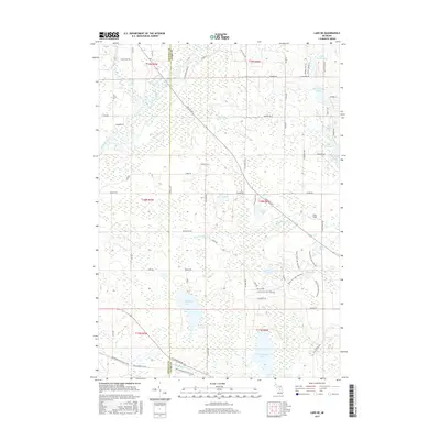
2017 Map of Lake NE
USGS Topo · Published 2017About this map
The Muskegon River and Middle Branch River headwaters converge in this corner of Clare and Osceola counties, defining a landscape dominated by glacial depressions and significant wetlands. A dense network of water bodies, including Big Mud Lake and Big Cranberry Lake, illustrates the post-glacial hydrography of the region. The map highlights the transition between watersheds, where the N Br Chippewa River flows to the south while the Muskegon system drains toward the northwest. Recreational and seasonal development is evident around smaller named waters such as Lake Tahoe and Windover Lake. Historically-rooted pathways like the Lake Tahoe Trl and the named trail systems near the Green Pine Lake pathway suggest a long-standing use of the area for timber or transit. Local landmarks like Doss Field stand out among the dispersed network of county roads.
Find a feature on this map
70 named features on this map. Tap any name to fly to it.
Don’t see what you’re looking for? This feature index may not catch every label — zoom into the map to look around manually.
Map Details
Editions of this 2017 Lake NE Map
This is the sole edition of this map. No revisions or reprints were ever made.
Other maps of this area

1954 · Traverse City
USGS Topo · 1:250,000

1954 · Midland
USGS Topo · 1:250,000

1957 · Harrison
USGS Topo · 1:62,500

1957 · Marion
USGS Topo · 1:62,500

1958 · Traverse City
USGS Topo · 1:250,000

1958 · Midland
USGS Topo · 1:250,000

1959 · Midland
USGS Topo · 1:250,000

1959 · Lake
USGS Topo · 1:62,500

1959 · Clare
USGS Topo · 1:62,500

1966 · Midland
USGS Topo · 1:250,000
Featured Places
- Garfield Township, MI
- Redding Township, MI
- Middle Branch Township, MI
- Freeman Township, MI
- Sylvan Township, MI