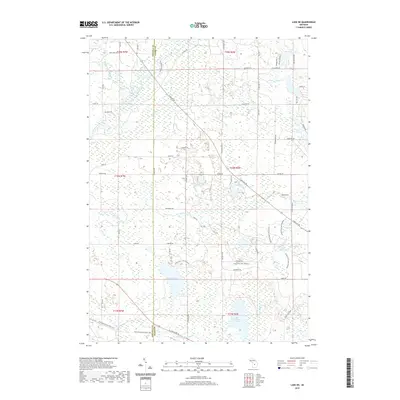
2019 Map of Lake NE
USGS Topo · Published 2019About this map
The Middle Branch River and Muskegon River flow through the northwestern corner of this territory, where the borders of Osceola and Clare counties meet. This region is defined by an extensive network of wetlands and small lakes, including Big Mud Lake, Lake Tahoe, and the sizable Big Cranberry Lake to the south. The landscape is interconnected by a series of local roads and trails such as Cadillac Dr and Ashard Rd, which navigate the various water systems like Doc and Tom Cr.
Find a feature on this map
65 named features on this map. Tap any name to fly to it.
Don’t see what you’re looking for? This feature index may not catch every label — zoom into the map to look around manually.
Map Details
Editions of this 2019 Lake NE Map
This is the sole edition of this map. No revisions or reprints were ever made.
Other maps of this area

1954 · Traverse City
USGS Topo · 1:250,000

1954 · Midland
USGS Topo · 1:250,000

1957 · Harrison
USGS Topo · 1:62,500

1957 · Marion
USGS Topo · 1:62,500

1958 · Traverse City
USGS Topo · 1:250,000

1958 · Midland
USGS Topo · 1:250,000

1959 · Midland
USGS Topo · 1:250,000

1959 · Lake
USGS Topo · 1:62,500

1959 · Clare
USGS Topo · 1:62,500

1966 · Midland
USGS Topo · 1:250,000
Featured Places
- Garfield Township, MI
- Redding Township, MI
- Middle Branch Township, MI
- Freeman Township, MI
- Sylvan Township, MI