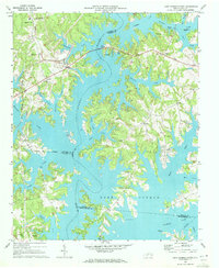
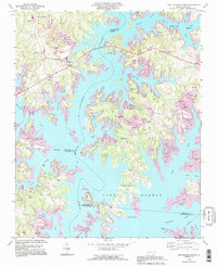
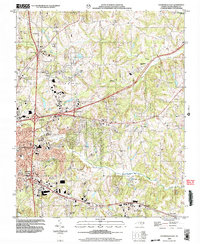
1970 Map of Lake Norman North
USGS Topo · Published 1972This historical map portrays the area of Lake Norman North in 1970, primarily covering Iredell County as well as portions of Mecklenburg County, Catawba County, and Lincoln County. Featuring a scale of 1:24000, this map provides a highly detailed snapshot of the terrain, roads, buildings, counties, and historical landmarks in the Lake Norman North region at the time. Published in 1972, it is one of 3 known editions of this map due to revisions or reprints.
Map Details
Editions of this 1970 Lake Norman North Map
3 editions found
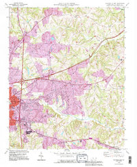
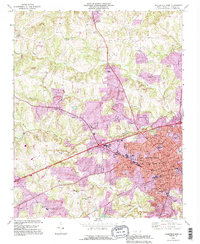
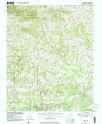
Historical Maps of Reserve at Langtree Plantation Through Time
12 maps found
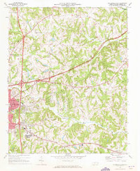
1969 Central
Iredell County, NC
1969 Shepherds
Iredell County, NC
1969 Statesville East
Iredell County, NC
1969 Statesville West
Iredell County, NC
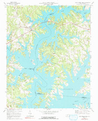
1970 Lake Norman North
Iredell County, NC
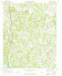
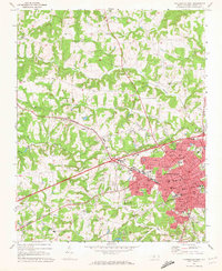
1976 Statesville West
Iredell County, NC
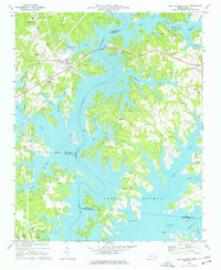
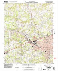
1993 Lake Norman North
Iredell County, NC
1993 Statesville East
Iredell County, NC
1993 Statesville West
Iredell County, NC
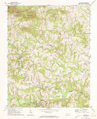
1997 Central
Iredell County, NC
2002 Statesville East
Iredell County, NC
2002 Statesville West
Iredell County, NC