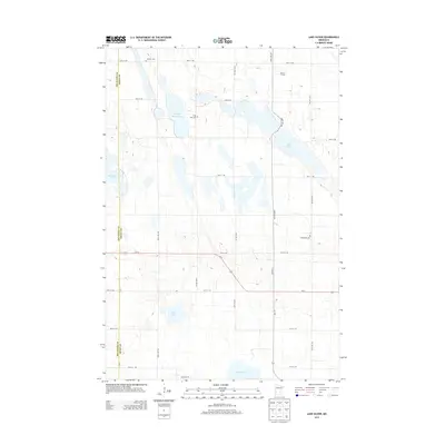
2013 Map of Lake Oliver
USGS Topo · Published 2013About this map
Lake Oliver and its surrounding wetlands anchor this prairie landscape along the border of Big Stone and Swift counties. This 2013 survey reveals a rural geography defined by its glacial hydrology, where large bodies of water like Artichoke Lake and Large Henry Lake are interspersed among a strictly organized grid of agricultural roads. The presence of Waldum Cem, Long Lake Cem, and Immanuel Cem suggests the deep-rooted settlement patterns of the families who farmed these sections.
Find a feature on this map
29 named features on this map. Tap any name to fly to it.
Don’t see what you’re looking for? This feature index may not catch every label — zoom into the map to look around manually.
Map Details
Editions of this 2013 Lake Oliver Map
This is the sole edition of this map. No revisions or reprints were ever made.
Other maps of this area

1953 · Milbank
USGS Topo · 1:250,000

1953 · Saint Cloud
USGS Topo · 1:250,000

1957 · Saint Cloud
USGS Topo · 1:250,000

1958 · Milbank
USGS Topo · 1:250,000

1958 · Saint Cloud
USGS Topo · 1:250,000

1958 · Correll
USGS Topo · 1:24,000

1958 · Milan NW
USGS Topo · 1:24,000

1958 · Appleton
USGS Topo · 1:24,000

1968 · Dry Wood Lake
USGS Topo · 1:24,000

1968 · Lake Oliver
USGS Topo · 1:24,000