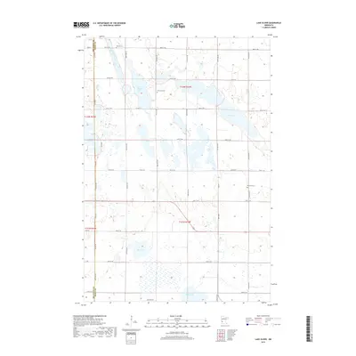
2019 Map of Lake Oliver
USGS Topo · Published 2019About this map
Artichoke Creek winds through the northwestern corner of this prairie landscape, marking the transition between Big Stone and Swift counties. This late-2010s survey shows a region defined by its glacial hydrology, where numerous water bodies like Large Henry Lake, Artichoke Lake, and the namesake Lake Oliver punctuate the grid of section-line roads. The landscape reflects a deeply rooted agricultural heritage, structured by a precise network of routes such as Co Hwy 27 and Co Rd 58.
Find a feature on this map
32 named features on this map. Tap any name to fly to it.
Don’t see what you’re looking for? This feature index may not catch every label — zoom into the map to look around manually.
Map Details
Editions of this 2019 Lake Oliver Map
This is the sole edition of this map. No revisions or reprints were ever made.
Other maps of this area

1953 · Milbank
USGS Topo · 1:250,000

1953 · Saint Cloud
USGS Topo · 1:250,000

1957 · Saint Cloud
USGS Topo · 1:250,000

1958 · Milbank
USGS Topo · 1:250,000

1958 · Saint Cloud
USGS Topo · 1:250,000

1958 · Correll
USGS Topo · 1:24,000

1958 · Milan NW
USGS Topo · 1:24,000

1958 · Appleton
USGS Topo · 1:24,000

1968 · Dry Wood Lake
USGS Topo · 1:24,000

1968 · Lake Oliver
USGS Topo · 1:24,000