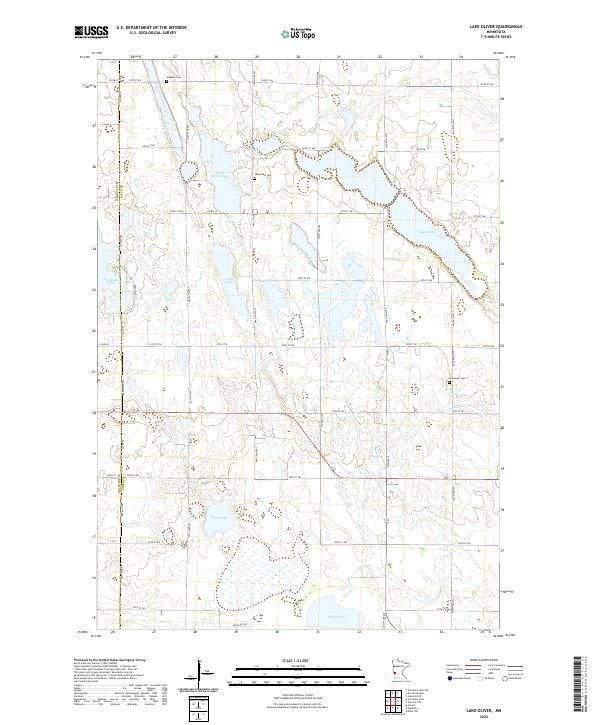
2022 Map of Lake Oliver
USGS Topo · Published 2022About this map
Lake Oliver and a dense network of prairie wetlands define this corner of Swift County and Big Stone County. The landscape is shaped by the glacial legacy of western Minnesota, where large water bodies like Artichoke Lake and Shible Lake are joined by numerous smaller basins such as Large Henry Lake and Griffin Lake. These features have historically influenced the local road network, which follows a rigid section-line grid except where interrupted by the shoreline or Artichoke Creek. For those tracing regional heritage, several small cemeteries are preserved on the map, including Long Lake Cem, Immanuel Cem, and Waldum Cem, providing specific points of interest for genealogists investigating these rural townships. The map illustrates the persistent agricultural character of the region, where drainage and water management remain central to the local geography.
Find a feature on this map
32 named features on this map. Tap any name to fly to it.
Don’t see what you’re looking for? This feature index may not catch every label — zoom into the map to look around manually.
Map Details
Editions of this 2022 Lake Oliver Map
This is the sole edition of this map. No revisions or reprints were ever made.
Other maps of this area

1953 · Milbank
USGS Topo · 1:250,000

1953 · Saint Cloud
USGS Topo · 1:250,000

1957 · Saint Cloud
USGS Topo · 1:250,000

1958 · Milbank
USGS Topo · 1:250,000

1958 · Saint Cloud
USGS Topo · 1:250,000

1958 · Correll
USGS Topo · 1:24,000

1958 · Milan NW
USGS Topo · 1:24,000

1958 · Appleton
USGS Topo · 1:24,000

1968 · Dry Wood Lake
USGS Topo · 1:24,000

1968 · Lake Oliver
USGS Topo · 1:24,000