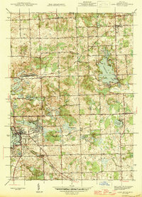
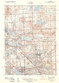
1945 Map of Lake Orion
USGS Topo · Published 1945About this map
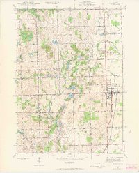
Lake Orion and the surrounding Grampian Hills define the landscape of northern Oakland County in this mid-1940s survey. The village of Lake Orion serves as a primary hub, with the Michigan Central railroad line cutting through the southwest corner and passing by local landmarks like Pelton Pt and Buckhorn Lake. The area is notably dense with glacial lakes, from Long Lake to Lakeville Lake, reflecting a region transitioning from rural agricultural roots toward more established lakeside communities.
Find a feature on this map
68 named features on this map. Tap any name to fly to it.
Don’t see what you’re looking for? This feature index may not catch every label — zoom into the map to look around manually.
Map Details
Editions of this 1945 Lake Orion Map
This is the sole edition of this map. No revisions or reprints were ever made.
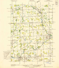
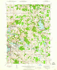
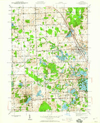
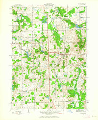
Other maps of this area

1907 · Pontiac
USGS Topo · 1:62,500

1908 · Rochester
USGS Topo · 1:62,500
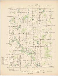
1936 · Rochester
USGS Topo · 1:31,680
1936 · Washington
USGS Topo · 1:31,680
1936 · Pontiac North
USGS Topo · 1:31,680
1943 · Pontiac North
USGS Topo · 1:24,000
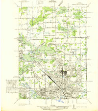
1943 · Lake Orion
USGS Topo · 1:24,000
1943 · Oxford
USGS Topo · 1:24,000
1943 · Metamora
USGS Topo · 1:24,000
1943 · Romeo
USGS Topo · 1:24,000
Featured Places
- Orion Charter Township, MI
- Oxford Charter Township, MI
- Oakland Charter Township, MI
- Addison Township, MI
- Oxford, Oxford Charter Township