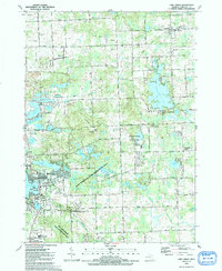
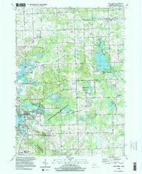
1968 Map of Lake Orion
USGS Topo · Published 1974About this map
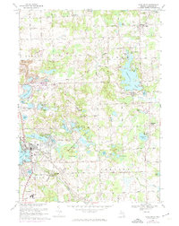
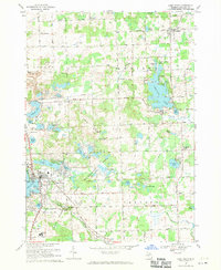
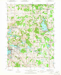
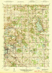
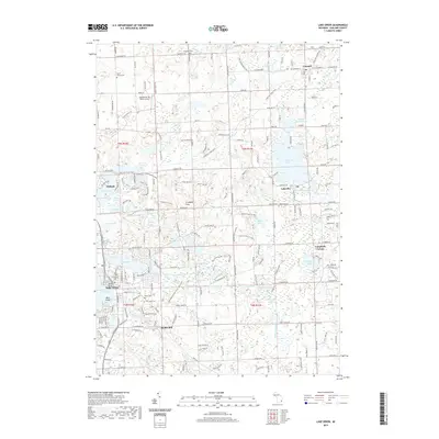
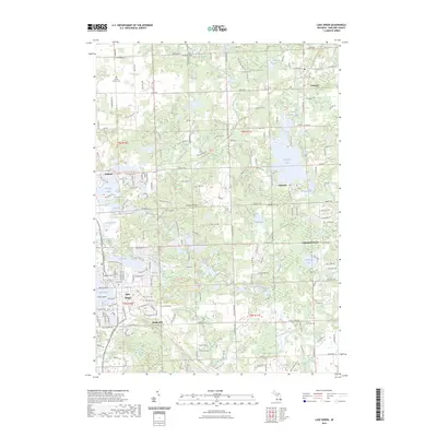
Lake Orion serves as the focal point of this northern Oakland County landscape, characterized by an intricate network of glacial lakes and shifting elevation. The village of Lakeville sits near the shores of Lakeville Lake, while the smaller settlement of Leonard occupies the northeastern corner of the sheet. Transportation is defined by the Grand Trunk Western and Penn Central railroads, which once connected these rural communities and the surrounding Grampian Hills.
Find a feature on this map
74 named features on this map. Tap any name to fly to it.
Don’t see what you’re looking for? This feature index may not catch every label — zoom into the map to look around manually.
Map Details
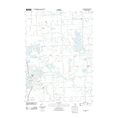
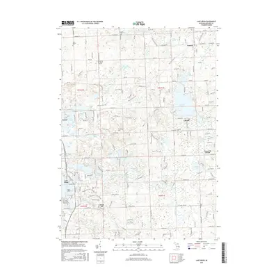
Editions of this 1968 Lake Orion Map
2 editions found
Historical Maps of Orion Charter Township Through Time
10 maps found
1943 Lake Orion
Oakland County, MI
1945 Lake Orion
Oakland County, MI
1968 Lake Orion
Oakland County, MI
1991 Lake Orion
Oakland County, MI
1996 Lake Orion
Oakland County, MI
2011 Lake Orion
Oakland County, MI

2014 Lake Orion
Oakland County, MI
2017 Lake Orion
Oakland County, MI
2019 Lake Orion
Oakland County, MI
2023 Lake Orion
Oakland County, MI
Featured Locations
- Addison Township, MI
- Oakland Charter Township, MI
- Orion Charter Township, MI
- Oxford Charter Township, MI
- Oxford, Oxford Charter Township