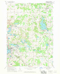
1968 Map of Lake Orion
USGS Topo · Published 1970About this map
The rolling glacial landscape of northern Oakland County is defined by its remarkable density of kettle lakes and wetlands, centered on the historic village of Lake Orion. This late-1960s survey shows a region in transition, where established rural settlements like Leonard and Lakeville sit amidst the expanding Bald Mountain State Recreation Area. The terrain is punctuated by the Grampian Hills and a network of water bodies ranging from the large Lakeville Lake to the secluded Graham Lakes.
Find a feature on this map
100 named features on this map. Tap any name to fly to it.
Don’t see what you’re looking for? This feature index may not catch every label — zoom into the map to look around manually.
Map Details
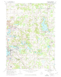
Editions of this 1968 Lake Orion Map
2 editions found
Other maps of this area

1907 · Pontiac
USGS Topo · 1:62,500

1908 · Rochester
USGS Topo · 1:62,500

1936 · Rochester
USGS Topo · 1:31,680

1936 · Washington
USGS Topo · 1:31,680

1936 · Pontiac North
USGS Topo · 1:31,680

1943 · Pontiac North
USGS Topo · 1:24,000

1943 · Lake Orion
USGS Topo · 1:24,000

1943 · Oxford
USGS Topo · 1:24,000

1943 · Metamora
USGS Topo · 1:24,000

1943 · Romeo
USGS Topo · 1:24,000
Featured Places
- Orion Charter Township, MI
- Oxford Charter Township, MI
- Oakland Charter Township, MI
- Addison Township, MI
- Oxford, MI