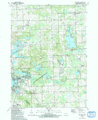
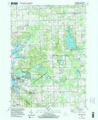
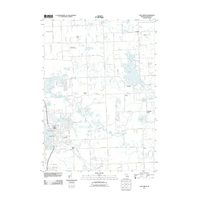
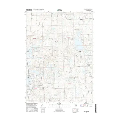
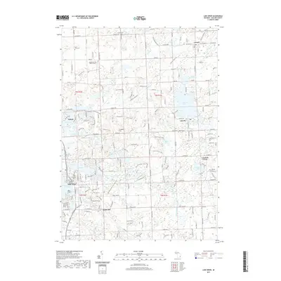
1991 Map of Lake Orion
USGS Topo · Published 1991About this map
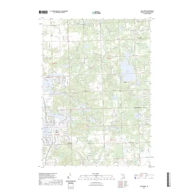
The glacial lakes and rolling terrain of northern Oakland County define this 1991 survey, centered on the growing community of Lake Orion. The landscape is a transition between the established village centers of Leonard and Lakeville and preserved natural spaces like the Bald Mountain State Recreation Area and Addison Oaks County Park. Cultural history is noted at the Rudds Mill (Site) and the St Benedict Monastery, while the Grand Trunk Western Railroad cuts through the northeast corner of the sheet. For genealogists and local historians, several burial grounds including Kingsbury Cem and East Lawn Cem are clearly marked. The map illustrates a region where recreation and residential development have integrated into the older farming and milling landscape, visible in the cluster of schools like The Leonard Sch and the extensive network of named roads.
Find a feature on this map
86 named features on this map. Tap any name to fly to it.
Don’t see what you’re looking for? This feature index may not catch every label — zoom into the map to look around manually.
Map Details
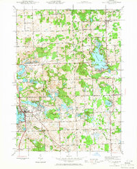
Editions of this 1991 Lake Orion Map
This is the sole edition of this map. No revisions or reprints were ever made.
Historical Maps of Orion Charter Township Through Time
10 maps found
1943 Lake Orion
Oakland County, MI
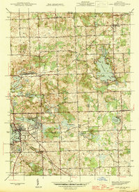
1945 Lake Orion
Oakland County, MI
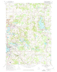
1968 Lake Orion
Oakland County, MI
1991 Lake Orion
Oakland County, MI
1996 Lake Orion
Oakland County, MI
2011 Lake Orion
Oakland County, MI

2014 Lake Orion
Oakland County, MI
2017 Lake Orion
Oakland County, MI
2019 Lake Orion
Oakland County, MI
2023 Lake Orion
Oakland County, MI
Featured Locations
- Addison Township, MI
- Oakland Charter Township, MI
- Orion Charter Township, MI
- Oxford Charter Township, MI
- Oxford, Oxford Charter Township