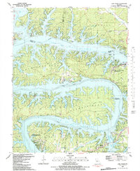
1983 Map of Lake Ozark
USGS Topo · Published 1989About this map
The Bagnell Dam Spillway 201 anchors this 1980s landscape, where the waters of the Lake of the Ozarks and the Osage River wind through complex shorelines and intricate peninsulas. The survey illustrates a well-developed recreation and residential network in towns like Lake Ozark and Osage Beach, punctuated by significant public lands including Lake of the Ozarks State Park and the Mansfield Forest State Wildlife Management Area.
Find a feature on this map
79 named features on this map. Tap any name to fly to it.
Don’t see what you’re looking for? This feature index may not catch every label — zoom into the map to look around manually.
Map Details
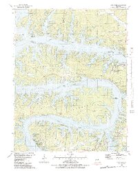
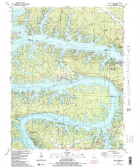
Editions of this 1983 Lake Ozark Map
3 editions found
Other maps of this area

1888 · Versailles
USGS Topo · 1:125,000

1893 · Versailles
USGS Topo · 1:125,000

1904 · Eldon
USGS Topo · 1:62,500

1904 · Gravois Mills
USGS Topo · 1:62,500

1932 · Versailles No 4
USGS Topo · 1:48,000

1934 · Camdenton
USGS Topo · 1:24,000

1934 · Purvis
USGS Topo · 1:24,000

1934 · Toronto
USGS Topo · 1:24,000

1934 · Lake Ozark
USGS Topo · 1:24,000

1934 · Bagnell
USGS Topo · 1:24,000