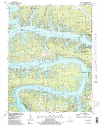
1983 Map of Lake Ozark
USGS Topo · Published 1989About this map
Bagnell Dam anchors this 1983 survey of the Lake of the Ozarks, where the Osage River winds through complex peninsulas like Horseshoe Bend and Shawnee Bend. The map documents a mature recreational landscape, featuring a Fish Hatchery, multiple golf courses, and the sprawl of Osage Beach and Lake Ozark. Local genealogy is well-preserved through numerous family cemeteries, including Cooper Cem, Birdsong Cem, and Anderson Cem, often situated on high ground above the flooded coves.
Find a feature on this map
70 named features on this map. Tap any name to fly to it.
Don’t see what you’re looking for? This feature index may not catch every label — zoom into the map to look around manually.
Map Details
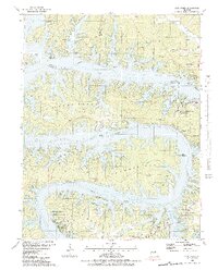
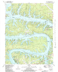
Editions of this 1983 Lake Ozark Map
3 editions found
Other maps of this area

1888 · Versailles
USGS Topo · 1:125,000

1893 · Versailles
USGS Topo · 1:125,000

1904 · Eldon
USGS Topo · 1:62,500

1904 · Gravois Mills
USGS Topo · 1:62,500

1932 · Versailles No 4
USGS Topo · 1:48,000

1934 · Camdenton
USGS Topo · 1:24,000

1934 · Purvis
USGS Topo · 1:24,000

1934 · Toronto
USGS Topo · 1:24,000

1934 · Lake Ozark
USGS Topo · 1:24,000

1934 · Bagnell
USGS Topo · 1:24,000