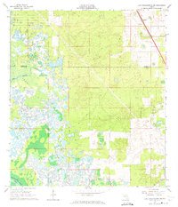
1966 Map of Lake Panasoffkee NW
USGS Topo · Published 1974About this map
Gum Springs and the surrounding Gum Swamp dominate the western portion of this 1960s terrain, where the marshy landscape meets the Withlacoochee River in the southwest corner. The map documents a period of transition along the Marion and Sumter County line, characterized by extensive wetlands and pine flatwoods interspersed with human industry. Evidence of the area's timber and transport history is visible in the Old Railroad Grade and numerous firebreaks cutting through the vegetation.
Find a feature on this map
11 named features on this map. Tap any name to fly to it.
Don’t see what you’re looking for? This feature index may not catch every label — zoom into the map to look around manually.
Map Details
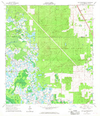
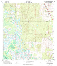
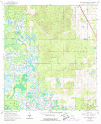
Editions of this 1966 Lake Panasoffkee NW Map
4 editions found
Other maps of this area

1892 · Dunnellon
USGS Topo · 1:62,500

1893 · Panasoffkee
USGS Topo · 1:62,500

1894 · Dunnellon
USGS Topo · 1:62,500

1895 · Tsala Apopka
USGS Topo · 1:62,500

1895 · Panasoffkee
USGS Topo · 1:62,500

1895 · Ocala
USGS Topo · 1:62,500

1954 · Tsala Apopka NE
USGS Topo · 1:24,000

1954 · Inverness
USGS Topo · 1:24,000

1954 · Dunnellon SE
USGS Topo · 1:24,000

1954 · Inverness
USGS Topo · 1:62,500