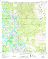
1966 Map of Lake Panasoffkee NW
USGS Topo · Published 1988About this map
Withlacoochee River waters define the southwestern corner of this mid-1960s landscape, where the riparian environment meets the expansive Gum Swamp. The map documents a period of transition as the residential development of Marion Oaks begins to emerge in the north, juxtaposed against the natural hydrology of Gum Slough and Gum Springs. Industrial and transportation history is marked by an Old Railroad Grade and a localized sandpit, while the Nichols Cem provides a point of interest for genealogists tracing local families. The interior of the quadrangle is crisscrossed with a network of Jeep Trails, trails, and firebreaks, reflecting a rural Florida terrain managed for timber, recreation, and early suburban growth.
Find a feature on this map
15 named features on this map. Tap any name to fly to it.
Don’t see what you’re looking for? This feature index may not catch every label — zoom into the map to look around manually.
Map Details
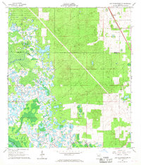
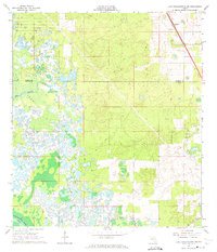
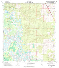
Editions of this 1966 Lake Panasoffkee NW Map
4 editions found
Other maps of this area

1892 · Dunnellon
USGS Topo · 1:62,500

1893 · Panasoffkee
USGS Topo · 1:62,500

1894 · Dunnellon
USGS Topo · 1:62,500

1895 · Tsala Apopka
USGS Topo · 1:62,500

1895 · Panasoffkee
USGS Topo · 1:62,500

1895 · Ocala
USGS Topo · 1:62,500

1954 · Tsala Apopka NE
USGS Topo · 1:24,000

1954 · Inverness
USGS Topo · 1:24,000

1954 · Dunnellon SE
USGS Topo · 1:24,000

1954 · Inverness
USGS Topo · 1:62,500